Probolinggo night lights from space
Night Light of Probolinggo (East Java) from space (Indonesia) Src. Average luminocity for 10x10km area is 55.2893% and for 50x50km: 10.3246%.
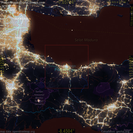
Analysis of Probolinggo night lights 2016
Square area 10x10 km:
 5.58%
5.58%90-99
10.54%80-89
12.19%70-79
16.94%60-69
9.5%50-59
3.31%40-49
4.34%30-39
3.1%20-29
11.16%10-19
20.66%0-9
2.69%Square area 50x50 km:
0.27%90-99
1.03%80-89
1.09%70-79
1.58%60-69
2.05%50-59
1.37%40-49
2.6%30-39
2.38%20-29
3.21%10-19
9.69%0-9
74.74%Clear (daylight) street map image can be seen on geolist.org.
Map coordinates:
7° 3' 25.3" South, 112° 30' 46" East
7° 45' 15.5" South, 113° 12' 57.2" East
8° 27' 1.4" South, 113° 55' 8.5" East
Some cities around Probolinggo sort by population:
• Lawang
58.1 km =36.1 mi,  261°
261°
• Pasuruan
36.1 km =22.4 mi,  289°
289°
• Lumajang
42.2 km =26.2 mi,  178°
178°
• Bangil
47 km =29.2 mi, 291°
• Besuki
53.1 km =33 mi,  87°
87°
• Kencong
61.1 km =38 mi,  164°
164°
• Pandaan
59.3 km =36.8 mi,  280°
280°
• Kraksaan
19.9 km =12.4 mi, 91°
1630634 (p: 181,656)
Sources (retrieved 2019-11-25):
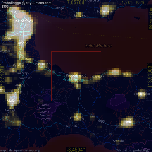
» NASA, Earths city lights 1995
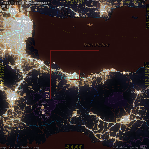
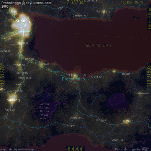
» NASA city lights 2003
» Earth at Night: Flat Maps 2012, 2016