Pandaan night lights from space
Night Light of Pandaan (East Java) from space (Indonesia) Src. Average luminocity for 10x10km area is 65.655% and for 50x50km: 37.8778%.
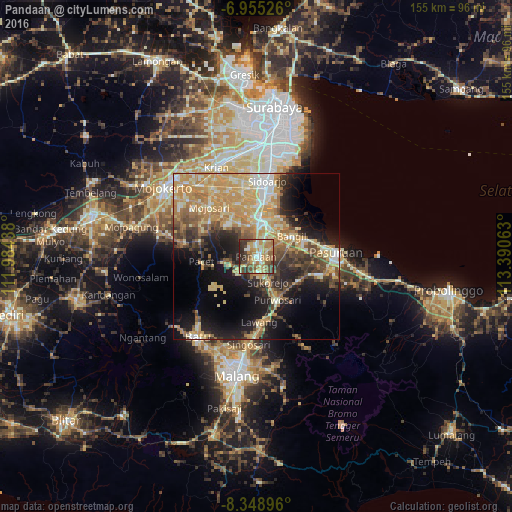
Analysis of Pandaan night lights 2016
Square area 10x10 km:
 3.72%
3.72%90-99
15.08%80-89
10.54%70-79
18.6%60-69
14.88%50-59
9.5%40-49
10.95%30-39
10.12%20-29
6.61%10-19
0%0-9
0%Square area 50x50 km:
2.53%90-99
6.73%80-89
7.29%70-79
10.45%60-69
6.25%50-59
3.88%40-49
5.53%30-39
5.24%20-29
7.7%10-19
14.25%0-9
30.16%Clear (daylight) street map image can be seen on geolist.org.
Map coordinates:
6° 57' 18.9" South, 111° 59' 3.8" East
7° 39' 9.6" South, 112° 41' 15" East
8° 20' 56.3" South, 113° 23' 26.3" East
Some cities around Pandaan sort by population:
• Lawang
20.3 km =12.6 mi,  177°
177°
• Pasuruan
24.3 km =15.1 mi,  88°
88°
• Sidoarjo
23 km =14.3 mi,  8°
8°
• Bangil
15.6 km =9.7 mi,  67°
67°
• Tulangan Utara
20.3 km =12.6 mi,  348°
348°
• Buduran
25.3 km =15.7 mi, 9°
• Tanggulangin
17.1 km =10.6 mi,  4°
4°
• Prigen
8.5 km =5.3 mi,  246°
246°
1632859 (p: 34,184)
Sources (retrieved 2019-11-25):
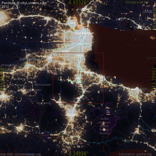
» Earth at Night: Flat Maps 2012, 2016