Kencong night lights from space
Night Light of Kencong (East Java) from space (Indonesia) Src. Average luminocity for 10x10km area is 19.7727% and for 50x50km: 10.6881%.
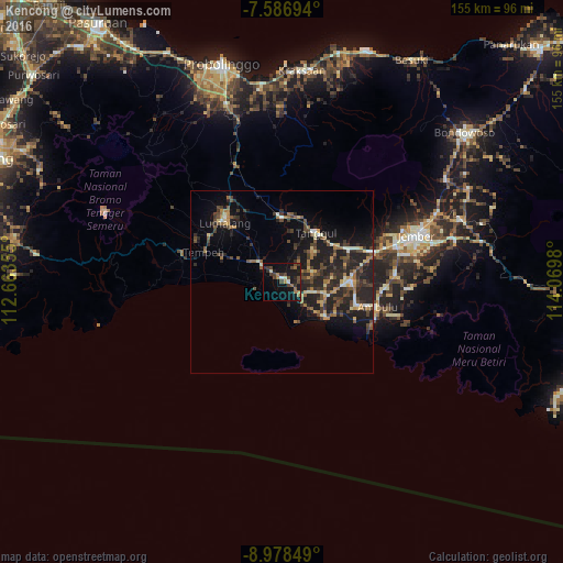
Analysis of Kencong night lights 2016
Square area 10x10 km:
 0%
0%90-99
2.89%80-89
0.41%70-79
1.03%60-69
5.58%50-59
0.83%40-49
8.88%30-39
3.51%20-29
5.37%10-19
24.38%0-9
47.11%Square area 50x50 km:
0.04%90-99
1.33%80-89
1.03%70-79
0.9%60-69
1.99%50-59
1.3%40-49
3.16%30-39
2.45%20-29
5.43%10-19
9.3%0-9
73.06%Clear (daylight) street map image can be seen on geolist.org.
Map coordinates:
7° 35' 13" South, 112° 39' 48.8" East
8° 16' 60" South, 113° 22' 0" East
8° 58' 42.6" South, 114° 4' 11.3" East
Some cities around Kencong sort by population:
• Jember
38.7 km =24 mi,  71°
71°
• Probolinggo
61.1 km =38 mi,  344°
344°
• Lumajang
22.8 km =14.2 mi,  316°
316°
• Bondowoso
64.8 km =40.3 mi,  50°
50°
• Besuki
71.2 km =44.2 mi,  30°
30°
• Kraksaan
58.5 km =36.4 mi,  3°
3°
• Dampit
68.4 km =42.5 mi,  276°
276°
• Gongdanglegi Kulon
81.3 km =50.5 mi, 278°
1640354 (p: 43,046)
Sources (retrieved 2019-11-25):
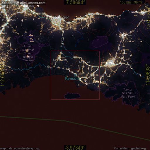
» Earth at Night: Flat Maps 2012, 2016