Pasuruan night lights from space
Night Light of Pasuruan (East Java) from space (Indonesia) Src. Average luminocity for 10x10km area is 53.2851% and for 50x50km: 22.6255%.
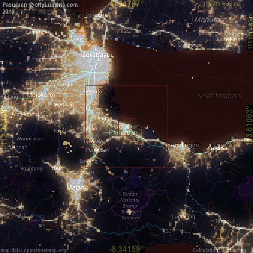
Analysis of Pasuruan night lights 2016
Square area 10x10 km:
 5.17%
5.17%90-99
16.94%80-89
11.36%70-79
5.99%60-69
5.17%50-59
5.17%40-49
9.92%30-39
1.86%20-29
16.32%10-19
16.94%0-9
5.17%Square area 50x50 km:
2.22%90-99
4.37%80-89
3.26%70-79
4.02%60-69
3.43%50-59
2.29%40-49
4.29%30-39
4.18%20-29
5.91%10-19
10.87%0-9
55.17%Clear (daylight) street map image can be seen on geolist.org.
Map coordinates:
6° 56' 52.3" South, 112° 12' 15.8" East
7° 38' 43.1" South, 112° 54' 27" East
8° 20' 29.7" South, 113° 36' 38.3" East
Some cities around Pasuruan sort by population:
• Lawang
31.6 km =19.6 mi,  227°
227°
• Sidoarjo
30.3 km =18.8 mi,  316°
316°
• Bangil
11 km =6.8 mi,  297°
297°
• Tulangan Utara
34.2 km =21.3 mi, 303°
• Buduran
31.5 km =19.6 mi, 319°
• Pandaan
24.3 km =15.1 mi,  268°
268°
• Tanggulangin
28 km =17.4 mi,  305°
305°
• Prigen
32.3 km =20.1 mi,  262°
262°
1632033 (p: 158,600)
Sources (retrieved 2019-11-25):
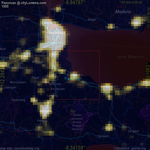
» NASA, Earths city lights 1995
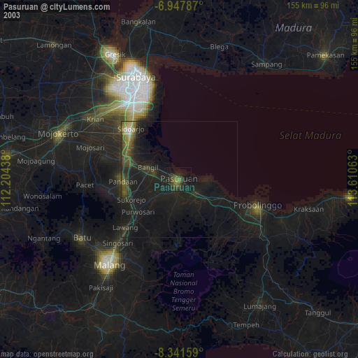
» NASA city lights 2003
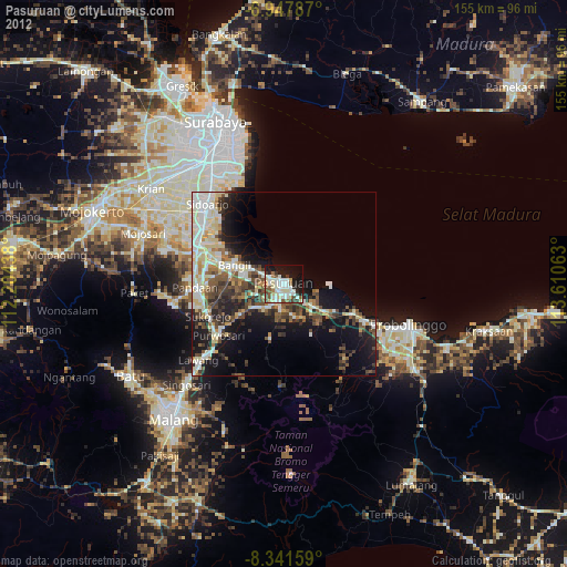
» Earth at Night: Flat Maps 2012, 2016