Kraksaan night lights from space
Night Light of Kraksaan (East Java) from space (Indonesia) Src. Average luminocity for 10x10km area is 32.5764% and for 50x50km: 10.4721%.
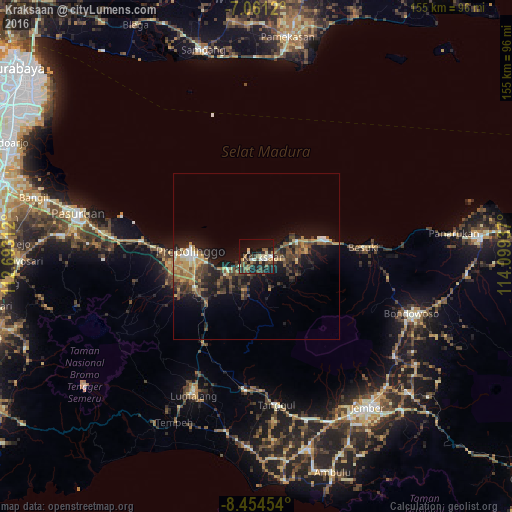
Analysis of Kraksaan night lights 2016
Square area 10x10 km:
 0.41%
0.41%90-99
7.44%80-89
3.72%70-79
0.83%60-69
6.61%50-59
6.4%40-49
7.23%30-39
6.61%20-29
9.3%10-19
34.09%0-9
17.36%Square area 50x50 km:
0.37%90-99
1.06%80-89
1.09%70-79
1.51%60-69
1.9%50-59
1.56%40-49
2.86%30-39
2.36%20-29
3.48%10-19
9.6%0-9
74.22%Clear (daylight) street map image can be seen on geolist.org.
Map coordinates:
7° 3' 40.3" South, 112° 41' 35.2" East
7° 45' 30.4" South, 113° 23' 46.5" East
8° 27' 16.3" South, 114° 5' 57.7" East
Some cities around Kraksaan sort by population:
• Jember
56.8 km =35.3 mi,  144°
144°
• Probolinggo
19.9 km =12.4 mi,  271°
271°
• Pasuruan
55.3 km =34.4 mi,  283°
283°
• Lumajang
45.8 km =28.5 mi,  204°
204°
• Bondowoso
49.9 km =31 mi,  110°
110°
• Besuki
33.3 km =20.7 mi,  85°
85°
• Balung
57.4 km =35.7 mi, 87°
• Panarukan
57.9 km =36 mi,  83°
83°
1639431 (p: 28,248)
Sources (retrieved 2019-11-25):
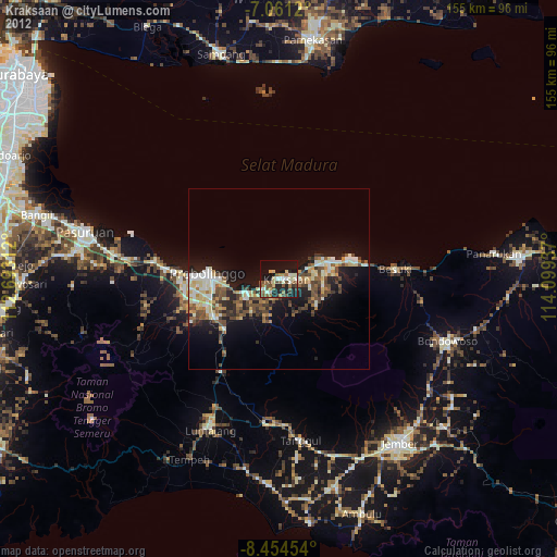
» Earth at Night: Flat Maps 2012, 2016