Dumai night lights from space
Night Light of Dumai (Riau) from space (Indonesia) Src. Average luminocity for 10x10km area is 49.3853% and for 50x50km: 4.2828%.
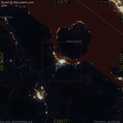
Analysis of Dumai night lights 2016
Square area 10x10 km:
 9.96%
9.96%90-99
11.04%80-89
3.68%70-79
4.76%60-69
4.76%50-59
9.74%40-49
10.61%30-39
4.55%20-29
15.58%10-19
25.11%0-9
0.22%Square area 50x50 km:
0.51%90-99
0.55%80-89
0.17%70-79
0.27%60-69
0.37%50-59
0.96%40-49
1.62%30-39
0.49%20-29
0.89%10-19
3.44%0-9
90.71%Clear (daylight) street map image can be seen on geolist.org.
Map coordinates:
2° 22' 11.2" North, 100° 44' 24.1" East
1° 40' 1.6" North, 101° 26' 35.4" East
0° 57' 51" North, 102° 8' 46.6" East
Some cities around Dumai sort by population:
• Malacca, MY
106.3 km =66.1 mi,  56°
56°
• Port Dickson, MY
104.8 km =65.1 mi,  22°
22°
• Balaipungut
69.7 km =43.3 mi,  194°
194°
• Klebang Besar, MY
104 km =64.6 mi,  53°
53°
• Kampong Masjid Tanah, MY
106.6 km =66.2 mi,  44°
44°
• Sungai Udang, MY
102.6 km =63.8 mi, 49°
• Bukit Rambai, MY
105.4 km =65.5 mi, 51°
• Kuala Sungai Baru, MY
101.3 km =62.9 mi, 40°
1645133 (p: 143,760)
Sources (retrieved 2019-11-25):
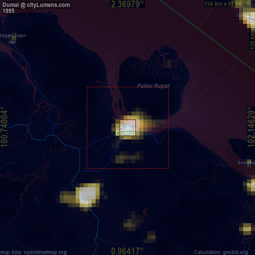
» NASA, Earths city lights 1995
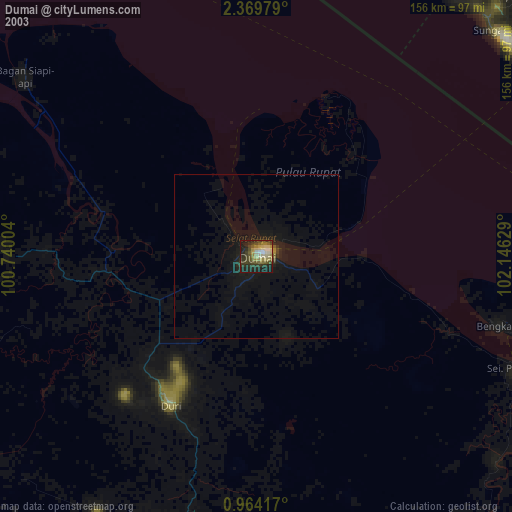
» NASA city lights 2003
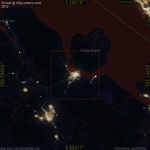
» Earth at Night: Flat Maps 2012, 2016