Nganjuk night lights from space
Night Light of Nganjuk (East Java) from space (Indonesia) Src. Average luminocity for 10x10km area is 37.0541% and for 50x50km: 10.4455%.
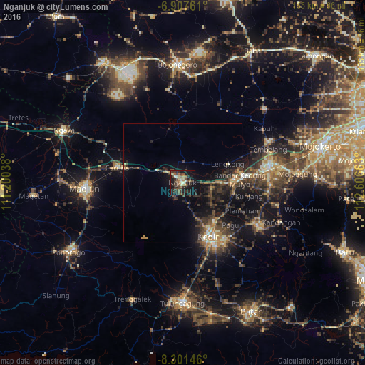
Analysis of Nganjuk night lights 2016
Square area 10x10 km:
 0.22%
0.22%90-99
5.63%80-89
3.9%70-79
3.25%60-69
7.58%50-59
6.49%40-49
11.04%30-39
12.77%20-29
14.29%10-19
30.52%0-9
4.33%Square area 50x50 km:
0.17%90-99
1.23%80-89
0.94%70-79
1.33%60-69
1.64%50-59
1.2%40-49
2.82%30-39
3.47%20-29
4.22%10-19
9.47%0-9
73.51%Clear (daylight) street map image can be seen on geolist.org.
Map coordinates:
6° 54' 27.4" South, 111° 12' 1.4" East
7° 36' 18.4" South, 111° 54' 12.6" East
8° 18' 5.3" South, 112° 36' 23.9" East
Some cities around Nganjuk sort by population:
• Kediri
26.6 km =16.5 mi,  152°
152°
• Madiun
41.9 km =26 mi,  266°
266°
• Jombang
36.9 km =22.9 mi,  79°
79°
• Kertosono
21.8 km =13.5 mi, 83°
• Pare
37.2 km =23.1 mi,  119°
119°
• Gampengrejo
21.9 km =13.6 mi, 145°
• Diwek
36.2 km =22.5 mi,  85°
85°
• Ngoro
40 km =24.9 mi,  102°
102°
1634131 (p: 69,011)
Sources (retrieved 2019-11-25):
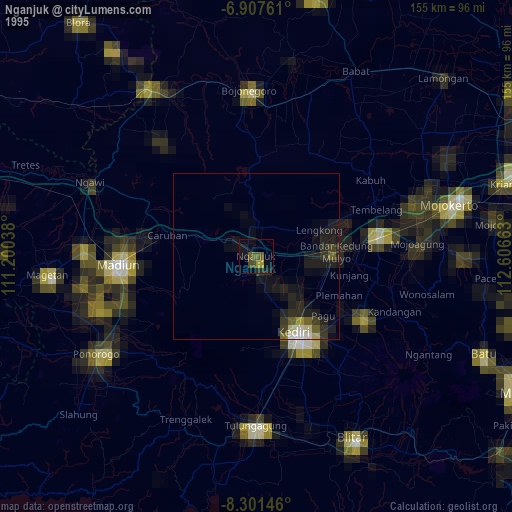
» NASA, Earths city lights 1995
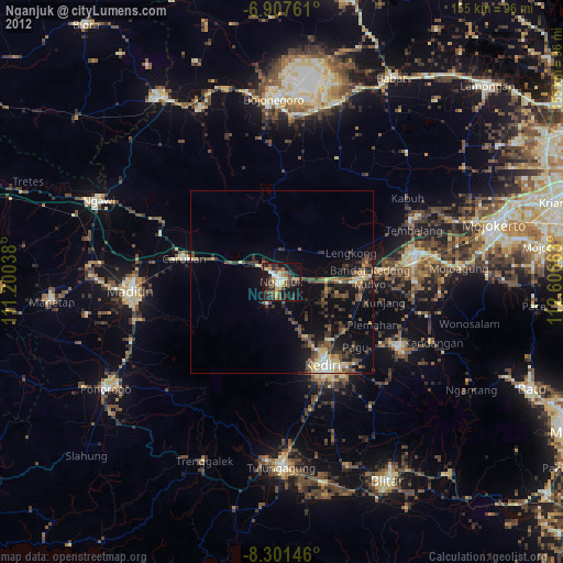
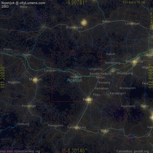
» NASA city lights 2003
» Earth at Night: Flat Maps 2012, 2016