Kediri night lights from space
Night Light of Kediri (East Java) from space (Indonesia) Src. Average luminocity for 10x10km area is 68.531% and for 50x50km: 15.3965%.
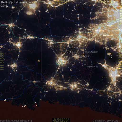
Analysis of Kediri night lights 2016
Square area 10x10 km:
 4.55%
4.55%90-99
18.39%80-89
11.57%70-79
16.53%60-69
17.98%50-59
6.61%40-49
13.84%30-39
7.64%20-29
2.27%10-19
0.62%0-9
0%Square area 50x50 km:
0.2%90-99
1.39%80-89
1.04%70-79
1.7%60-69
2.31%50-59
2.12%40-49
4.44%30-39
5.92%20-29
6.91%10-19
15.65%0-9
58.32%Clear (daylight) street map image can be seen on geolist.org.
Map coordinates:
7° 7' 10.2" South, 111° 18' 48.8" East
7° 49' 0" South, 112° 1' 0" East
8° 30' 45.6" South, 112° 43' 11.3" East
Some cities around Kediri sort by population:
• Kedungwaru
29.9 km =18.6 mi,  201°
201°
• Nganjuk
26.6 km =16.5 mi,  332°
332°
• Tulungagung
30.4 km =18.9 mi, 204°
• Kertosono
27.5 km =17.1 mi,  19°
19°
• Pare
20.7 km =12.9 mi,  74°
74°
• Gampengrejo
5.6 km =3.5 mi,  0°
0°
• Ngunut
32.1 km =19.9 mi,  180°
180°
• Ngoro
30.4 km =18.9 mi,  60°
60°
1640660 (p: 235,143)
Sources (retrieved 2019-11-25):
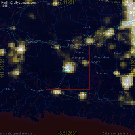
» NASA, Earths city lights 1995
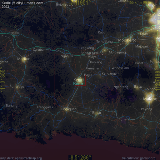
» NASA city lights 2003
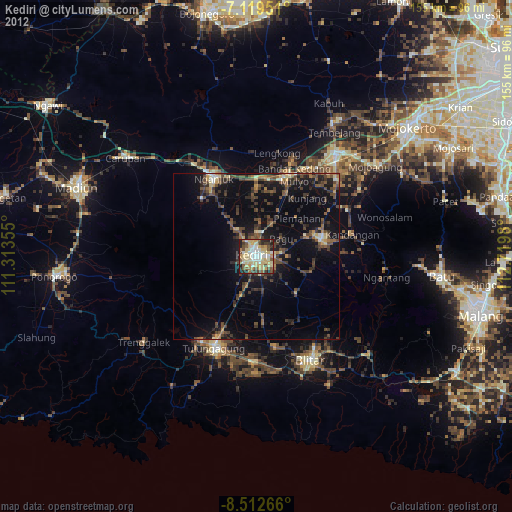
» Earth at Night: Flat Maps 2012, 2016