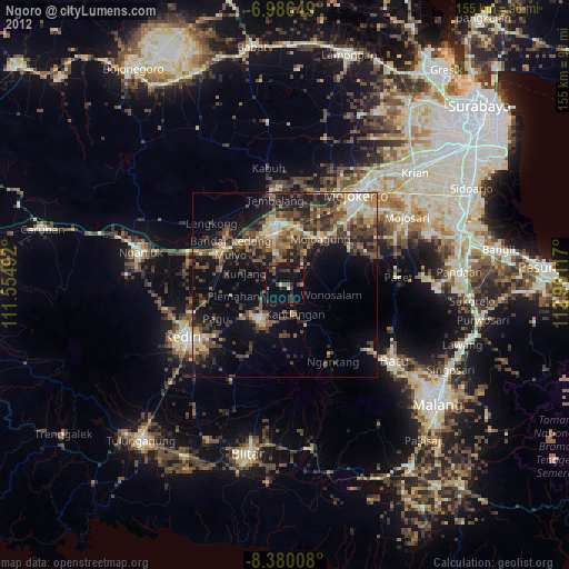
Ngoro night lights from space
Night Light of Ngoro (East Java) from space (Indonesia) Src. Average luminocity for 10x10km area is 23.8967% and for 50x50km: 24.5294%.
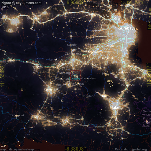
Analysis of Ngoro night lights 2016
Square area 10x10 km:
 0%
0%90-99
1.65%80-89
1.24%70-79
2.69%60-69
2.07%50-59
3.31%40-49
8.26%30-39
6.2%20-29
15.7%10-19
39.88%0-9
19.01%Square area 50x50 km:
0.56%90-99
3.25%80-89
2.76%70-79
4.06%60-69
4.39%50-59
3.59%40-49
7.53%30-39
6.89%20-29
8.3%10-19
15.12%0-9
43.55%Clear (daylight) street map image can be seen on geolist.org.
Map coordinates:
6° 59' 11.4" South, 111° 33' 17.7" East
7° 41' 1.9" South, 112° 15' 28.9" East
8° 22' 48.3" South, 112° 57' 40.2" East
Some cities around Ngoro sort by population:
• Kediri
30.4 km =18.9 mi,  240°
240°
• Jombang
15.6 km =9.7 mi,  349°
349°
• Kertosono
20.7 km =12.9 mi,  302°
302°
• Pare
11.4 km =7.1 mi,  215°
215°
• Gampengrejo
28.1 km =17.5 mi,  250°
250°
• Diwek
12 km =7.5 mi, 345°
• Soko
29.1 km =18.1 mi,  39°
39°
• Mojoagung
16.5 km =10.3 mi, 37°
1634010 (p: 22,871)
Sources (retrieved 2019-11-25):
» Earth at Night: Flat Maps 2012, 2016