Madiun night lights from space
Night Light of Madiun (East Java) from space (Indonesia) Src. Average luminocity for 10x10km area is 50.2468% and for 50x50km: 7.7057%.
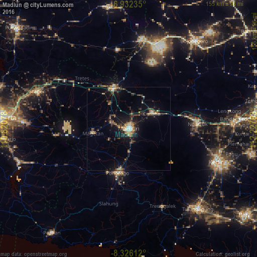
Analysis of Madiun night lights 2016
Square area 10x10 km:
 4.11%
4.11%90-99
8.66%80-89
10.17%70-79
9.96%60-69
10.17%50-59
4.98%40-49
7.36%30-39
5.84%20-29
16.23%10-19
22.51%0-9
0%Square area 50x50 km:
0.2%90-99
0.68%80-89
0.86%70-79
1.11%60-69
1.16%50-59
1.09%40-49
1.2%30-39
1.91%20-29
2.69%10-19
7.06%0-9
82.04%Clear (daylight) street map image can be seen on geolist.org.
Map coordinates:
6° 55' 56.5" South, 110° 49' 14.8" East
7° 37' 47.3" South, 111° 31' 26" East
8° 19' 34" South, 112° 13' 37.3" East
Some cities around Madiun sort by population:
• Kediri
58.1 km =36.1 mi,  110°
110°
• Ponorogo
27.4 km =17 mi,  194°
194°
• Nganjuk
41.9 km =26 mi,  86°
86°
• Cepu
54.1 km =33.6 mi,  7°
7°
• Jatiroto
53 km =32.9 mi,  237°
237°
• Gampengrejo
56.4 km =35 mi, 105°
• Trenggalek
53.6 km =33.3 mi,  157°
157°
• Ngawi
26.6 km =16.5 mi,  341°
341°
1636930 (p: 186,099)
Sources (retrieved 2019-11-25):
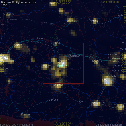
» NASA, Earths city lights 1995
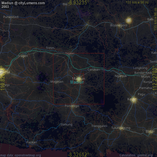
» NASA city lights 2003
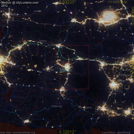
» Earth at Night: Flat Maps 2012, 2016