Kertosono night lights from space
Night Light of Kertosono (East Java) from space (Indonesia) Src. Average luminocity for 10x10km area is 43.1883% and for 50x50km: 19.9586%.
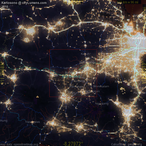
Analysis of Kertosono night lights 2016
Square area 10x10 km:
 0.87%
0.87%90-99
8.01%80-89
4.11%70-79
5.63%60-69
9.96%50-59
4.55%40-49
10.82%30-39
18.4%20-29
18.61%10-19
16.23%0-9
2.81%Square area 50x50 km:
0.34%90-99
2.51%80-89
1.83%70-79
2.26%60-69
3%50-59
2.83%40-49
6.36%30-39
6.75%20-29
8.49%10-19
16.5%0-9
49.13%Clear (daylight) street map image can be seen on geolist.org.
Map coordinates:
6° 53' 8.9" South, 111° 23' 48.8" East
7° 34' 60" South, 112° 6' 0" East
8° 16' 47" South, 112° 48' 11.3" East
Some cities around Kertosono sort by population:
• Kediri
27.5 km =17.1 mi,  199°
199°
• Jombang
15.2 km =9.4 mi,  74°
74°
• Nganjuk
21.8 km =13.5 mi,  263°
263°
• Pare
23.2 km =14.4 mi,  152°
152°
• Gampengrejo
22.4 km =13.9 mi, 204°
• Diwek
14.5 km =9 mi,  88°
88°
• Mojoagung
27.6 km =17.1 mi, 86°
• Ngoro
20.7 km =12.9 mi,  122°
122°
1640185 (p: 60,782)
Sources (retrieved 2019-11-25):
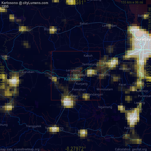
» NASA, Earths city lights 1995
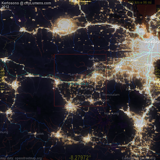
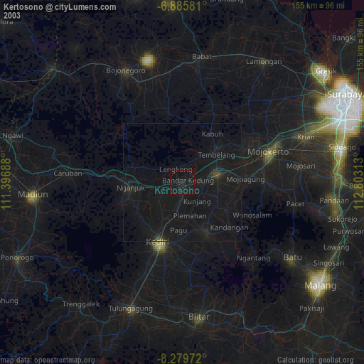
» NASA city lights 2003
» Earth at Night: Flat Maps 2012, 2016