Pare night lights from space
Night Light of Pare (East Java) from space (Indonesia) Src. Average luminocity for 10x10km area is 34.2004% and for 50x50km: 19.8186%.
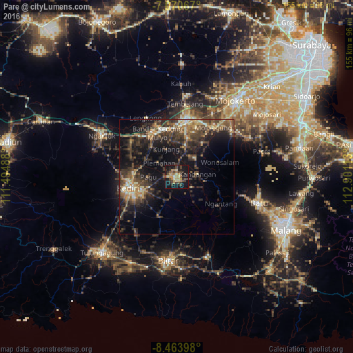


Analysis of Pare night lights 2016
Square area 10x10 km:
 0%
0%90-99
2.07%80-89
6.2%70-79
5.79%60-69
7.64%50-59
3.51%40-49
11.57%30-39
7.44%20-29
9.71%10-19
42.36%0-9
3.72%Square area 50x50 km:
0.37%90-99
2.42%80-89
1.88%70-79
2.72%60-69
3.27%50-59
2.84%40-49
6.27%30-39
6.59%20-29
7.4%10-19
14.82%0-9
51.41%Clear (daylight) street map image can be seen on geolist.org.
Map coordinates:
7° 4' 14.4" South, 111° 29' 41.6" East
7° 46' 4.4" South, 112° 11' 52.8" East
8° 27' 50.3" South, 112° 54' 4.1" East
Some cities around Pare sort by population:
• Kediri
20.7 km =12.9 mi,  254°
254°
• Blitar
36.9 km =22.9 mi,  185°
185°
• Jombang
25 km =15.5 mi,  8°
8°
• Kertosono
23.2 km =14.4 mi,  332°
332°
• Gampengrejo
20 km =12.4 mi,  270°
270°
• Diwek
21.3 km =13.2 mi, 9°
• Mojoagung
27.9 km =17.3 mi,  36°
36°
• Ngoro
11.4 km =7.1 mi, 35°
1632358 (p: 56,699)
Sources (retrieved 2019-11-25):
» NASA, Earths city lights 1995
» NASA city lights 2003
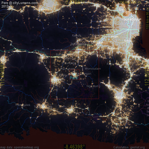
» Earth at Night: Flat Maps 2012, 2016