Mojoagung night lights from space
Night Light of Mojoagung (East Java) from space (Indonesia) Src. Average luminocity for 10x10km area is 48.8896% and for 50x50km: 32.5454%.
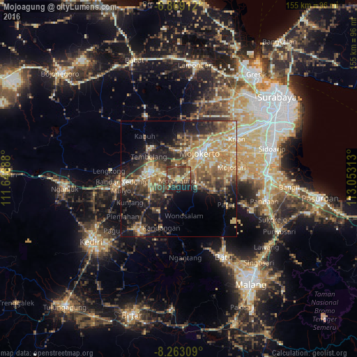
Analysis of Mojoagung night lights 2016
Square area 10x10 km:
 0.22%
0.22%90-99
5.41%80-89
7.58%70-79
7.36%60-69
9.96%50-59
9.74%40-49
25.32%30-39
11.47%20-29
12.55%10-19
10.39%0-9
0%Square area 50x50 km:
0.97%90-99
5.36%80-89
4.57%70-79
7.59%60-69
5.98%50-59
4.85%40-49
8.38%30-39
6.41%20-29
7.9%10-19
13.07%0-9
34.92%Clear (daylight) street map image can be seen on geolist.org.
Map coordinates:
6° 52' 8.8" South, 111° 38' 48.8" East
7° 34' 0" South, 112° 21' 0" East
8° 15' 47.1" South, 113° 3' 11.3" East
Some cities around Mojoagung sort by population:
• Jombang
13.1 km =8.1 mi,  280°
280°
• Mojokerto
14.5 km =9 mi,  39°
39°
• Kertosono
27.6 km =17.1 mi,  266°
266°
• Pare
27.9 km =17.3 mi,  216°
216°
• Diwek
13.2 km =8.2 mi,  264°
264°
• Krian
30.7 km =19.1 mi,  55°
55°
• Soko
12.6 km =7.8 mi, 42°
• Ngoro
16.5 km =10.3 mi, 217°
1635116 (p: 23,534)
Sources (retrieved 2019-11-25):
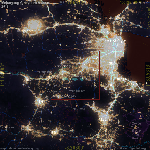
» Earth at Night: Flat Maps 2012, 2016