Srandakan night lights from space
Night Light of Srandakan (Yogyakarta) from space (Indonesia) Src. Average luminocity for 10x10km area is 5.3822% and for 50x50km: 14.142%.
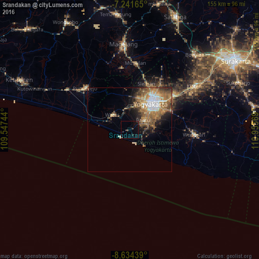
Analysis of Srandakan night lights 2016
Square area 10x10 km:
 0%
0%90-99
0.41%80-89
0%70-79
0%60-69
0%50-59
2.07%40-49
0.41%30-39
1.65%20-29
0%10-19
7.23%0-9
88.22%Square area 50x50 km:
1.86%90-99
1.86%80-89
1.27%70-79
2.2%60-69
3.64%50-59
3.65%40-49
2.51%30-39
1.61%20-29
2.55%10-19
3.95%0-9
74.9%Clear (daylight) street map image can be seen on geolist.org.
Map coordinates:
7° 14' 29.9" South, 109° 32' 50.8" East
7° 56' 19" South, 110° 15' 2" East
8° 38' 3.8" South, 110° 57' 13.3" East
Some cities around Srandakan sort by population:
• Kasihan
15.1 km =9.4 mi,  34°
34°
• Sewon
13.8 km =8.6 mi,  59°
59°
• Gamping Lor
18 km =11.2 mi, 27°
• Godean
19.4 km =12.1 mi,  14°
14°
• Bantul
10.3 km =6.4 mi, 56°
• Pandak
5.5 km =3.4 mi, 59°
• Bambanglipuro
3.8 km =2.4 mi,  109°
109°
• Pundong
10.9 km =6.8 mi,  97°
97°
1626493 (p: 29,529)
Sources (retrieved 2019-11-25):
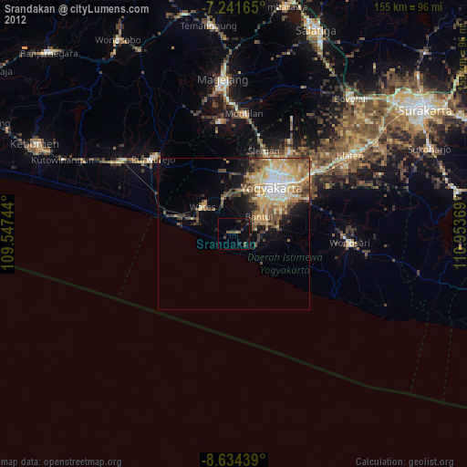
» Earth at Night: Flat Maps 2012, 2016