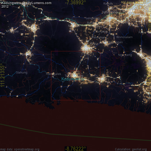
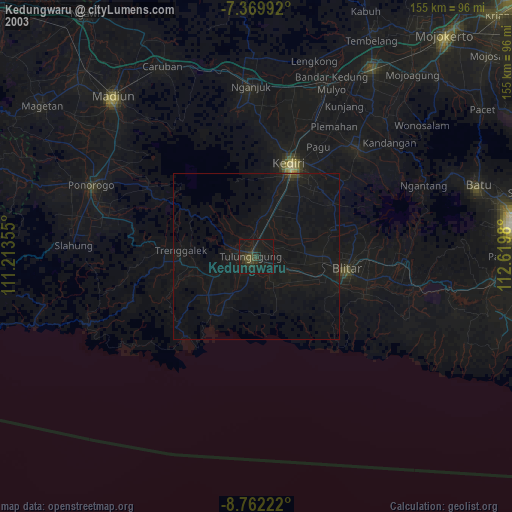
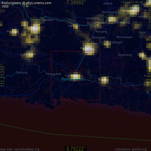
Kedungwaru night lights from space
Night Light of Kedungwaru (East Java) from space (Indonesia) Src. Average luminocity for 10x10km area is 50.781% and for 50x50km: 9.554%.
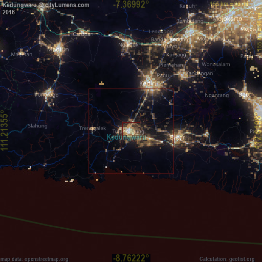
Analysis of Kedungwaru night lights 2016
Square area 10x10 km:
 3.72%
3.72%90-99
3.31%80-89
5.99%70-79
10.12%60-69
16.32%50-59
7.44%40-49
16.94%30-39
14.46%20-29
15.5%10-19
6.2%0-9
0%Square area 50x50 km:
0.19%90-99
0.42%80-89
0.44%70-79
1.09%60-69
1.52%50-59
1.79%40-49
3.08%30-39
3.77%20-29
4.33%10-19
9.02%0-9
74.36%Clear (daylight) street map image can be seen on geolist.org.
Map coordinates:
7° 22' 11.7" South, 111° 12' 48.8" East
8° 4' 0" South, 111° 55' 0" East
8° 45' 44" South, 112° 37' 11.3" East
Some cities around Kedungwaru sort by population:
• Kediri
29.9 km =18.6 mi,  21°
21°
• Blitar
27.9 km =17.3 mi,  97°
97°
• Tulungagung
1.6 km =1 mi,  273°
273°
• Pare
45.4 km =28.2 mi,  43°
43°
• Gampengrejo
35.1 km =21.8 mi, 18°
• Boyolangu
6.3 km =3.9 mi,  204°
204°
• Trenggalek
23.2 km =14.4 mi, 267°
• Ngunut
11.8 km =7.3 mi,  111°
111°
1640585 (p: 80,257)
Sources (retrieved 2019-11-25):
» NASA, Earths city lights 1995
» NASA city lights 2003
» Earth at Night: Flat Maps 2012, 2016