Tulungagung night lights from space
Night Light of Tulungagung (East Java) from space (Indonesia) Src. Average luminocity for 10x10km area is 50.1963% and for 50x50km: 9.1366%.
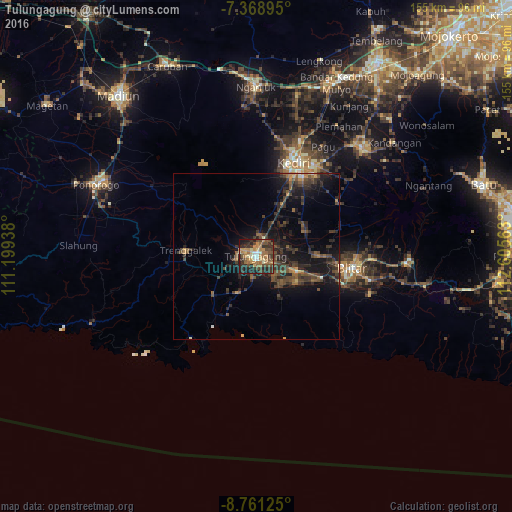
Analysis of Tulungagung night lights 2016
Square area 10x10 km:
 3.72%
3.72%90-99
3.51%80-89
6.2%70-79
11.16%60-69
16.94%50-59
5.58%40-49
12.81%30-39
15.08%20-29
16.94%10-19
8.06%0-9
0%Square area 50x50 km:
0.19%90-99
0.36%80-89
0.41%70-79
1.04%60-69
1.41%50-59
1.75%40-49
2.92%30-39
3.63%20-29
4.26%10-19
8.7%0-9
75.35%Clear (daylight) street map image can be seen on geolist.org.
Map coordinates:
7° 22' 8.2" South, 111° 11' 57.8" East
8° 3' 56.5" South, 111° 54' 9" East
8° 45' 40.5" South, 112° 36' 20.3" East
Some cities around Tulungagung sort by population:
• Kediri
30.4 km =18.9 mi,  24°
24°
• Blitar
29.5 km =18.3 mi,  97°
97°
• Kedungwaru
1.6 km =1 mi,  93°
93°
• Pare
46.4 km =28.8 mi,  44°
44°
• Gampengrejo
35.5 km =22.1 mi, 20°
• Boyolangu
5.9 km =3.7 mi,  189°
189°
• Trenggalek
21.6 km =13.4 mi,  266°
266°
• Ngunut
13.3 km =8.3 mi,  109°
109°
1623080 (p: 65,262)
Sources (retrieved 2019-11-25):
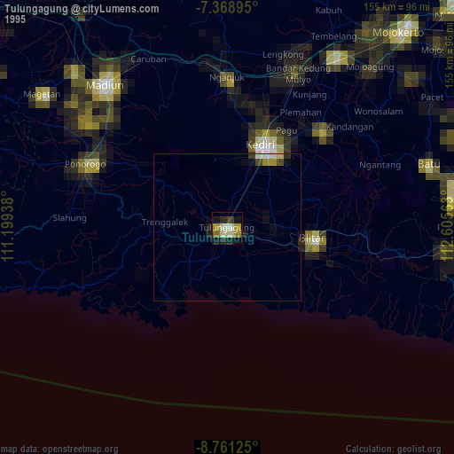
» NASA, Earths city lights 1995
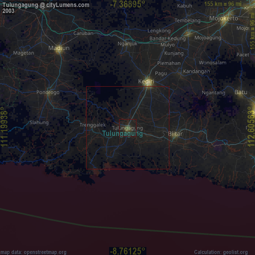
» NASA city lights 2003
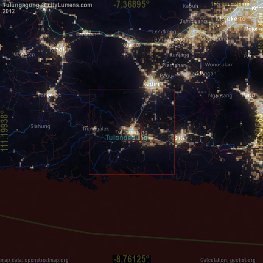
» Earth at Night: Flat Maps 2012, 2016