Nagykálló night lights from space
Night Light of Nagykálló (Szabolcs-Szatmár-Bereg) from space (Hungary) Src. Average luminocity for 10x10km area is 2.2813% and for 50x50km: 2.956%.
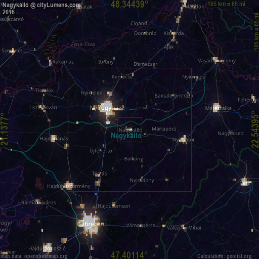
Analysis of Nagykálló night lights 2016
Square area 10x10 km:
 0.14%
0.14%90-99
0.43%80-89
0%70-79
0%60-69
0.57%50-59
0%40-49
0.28%30-39
1.42%20-29
0.28%10-19
0.28%0-9
96.59%Square area 50x50 km:
0.51%90-99
0.55%80-89
0.22%70-79
0.24%60-69
0.27%50-59
0.29%40-49
0.34%30-39
0.57%20-29
0.83%10-19
2.18%0-9
94%Clear (daylight) street map image can be seen on geolist.org.
Map coordinates:
48° 20' 39.8" North, 21° 8' 15.7" East
47° 52' 29.7" North, 21° 50' 27" East
47° 24' 4.1" North, 22° 32' 38.2" East
Some cities around Nagykálló sort by population:
• Nyíregyháza
12.9 km =8 mi,  314°
314°
• Újfehértó
14.4 km =8.9 mi,  234°
234°
• Nyírbátor
22.3 km =13.9 mi,  101°
101°
• Nyíradony
20.6 km =12.8 mi,  163°
163°
• Nyírtelek
22.1 km =13.7 mi,  315°
315°
• Balkány
11.7 km =7.3 mi,  171°
171°
• Téglás
21.2 km =13.2 mi,  213°
213°
• Kemecse
22.4 km =13.9 mi,  353°
353°
717281 (p: 10,796)
Sources (retrieved 2019-11-25):
» Earth at Night: Flat Maps 2012, 2016