Nyíregyháza night lights from space
Night Light of Nyíregyháza (Szabolcs-Szatmár-Bereg) from space (Hungary) Src. Average luminocity for 10x10km area is 38.2869% and for 50x50km: 2.6811%.
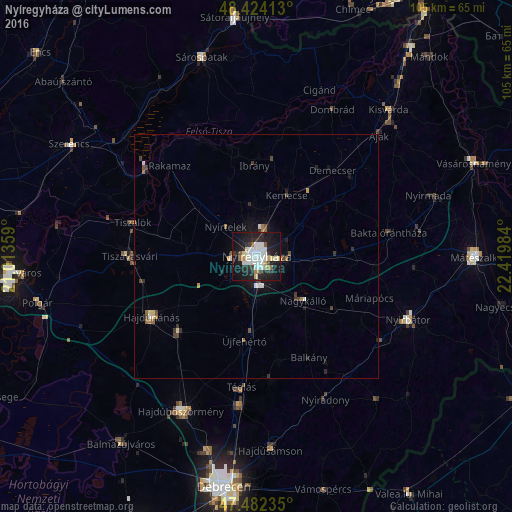
Analysis of Nyíregyháza night lights 2016
Square area 10x10 km:
 9.8%
9.8%90-99
10.09%80-89
3.55%70-79
1.56%60-69
1.7%50-59
3.69%40-49
0.57%30-39
4.12%20-29
15.2%10-19
37.78%0-9
11.93%Square area 50x50 km:
0.48%90-99
0.49%80-89
0.23%70-79
0.14%60-69
0.21%50-59
0.37%40-49
0.26%30-39
0.42%20-29
0.82%10-19
2.19%0-9
94.38%Clear (daylight) street map image can be seen on geolist.org.
Map coordinates:
48° 25' 26.9" North, 21° 0' 48.9" East
47° 57' 19.4" North, 21° 43' 0.2" East
47° 28' 56.5" North, 22° 25' 11.4" East
Some cities around Nyíregyháza sort by population:
• Újfehértó
17.5 km =10.9 mi,  188°
188°
• Nagykálló
12.9 km =8 mi,  134°
134°
• Hajdúdorog
22.3 km =13.9 mi,  226°
226°
• Nyírtelek
9.2 km =5.7 mi,  317°
317°
• Ibrány
18.7 km =11.6 mi,  358°
358°
• Balkány
23.3 km =14.5 mi,  151°
151°
• Nagyhalász
20 km =12.4 mi,  9°
9°
• Kemecse
14.9 km =9.3 mi,  26°
26°
716935 (p: 116,298)
Sources (retrieved 2019-11-25):
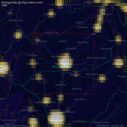
» NASA, Earths city lights 1995
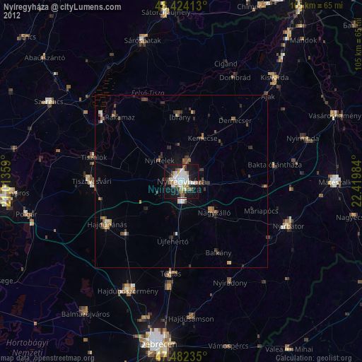
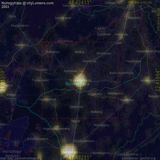
» NASA city lights 2003
» Earth at Night: Flat Maps 2012, 2016