Nyírtelek night lights from space
Night Light of Nyírtelek (Szabolcs-Szatmár-Bereg) from space (Hungary) Src. Average luminocity for 10x10km area is 3.3594% and for 50x50km: 2.8096%.
Analysis of Nyírtelek night lights 2016
Square area 10x10 km:
 0%
0%90-99
0.28%80-89
0.14%70-79
0%60-69
0%50-59
0.57%40-49
0%30-39
0.57%20-29
1.28%10-19
8.38%0-9
88.78%Square area 50x50 km:
0.48%90-99
0.49%80-89
0.26%70-79
0.14%60-69
0.23%50-59
0.42%40-49
0.41%30-39
0.43%20-29
0.75%10-19
2.21%0-9
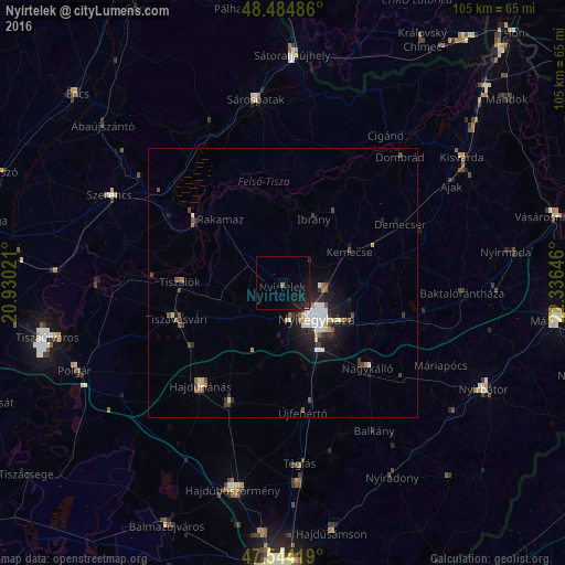
94.18%Clear (daylight) street map image can be seen on geolist.org.
Map coordinates:
48° 29' 5.5" North, 20° 55' 48.8" East
48° 1' 0" North, 21° 37' 60" East
47° 32' 39.1" North, 22° 20' 11.3" East
Some cities around Nyírtelek sort by population:
• Nyíregyháza
9.2 km =5.7 mi,  137°
137°
• Tiszavasvári
21.8 km =13.5 mi,  255°
255°
• Ibrány
13.1 km =8.1 mi,  25°
25°
• Tiszalök
18.6 km =11.6 mi,  270°
270°
• Nagyhalász
16 km =9.9 mi,  36°
36°
• Rakamaz
17.3 km =10.7 mi,  313°
313°
• Tokaj
19.6 km =12.2 mi,  304°
304°
• Kemecse
14.4 km =8.9 mi,  63°
63°
716893 (p: 7,138)
Sources (retrieved 2019-11-25):
» Earth at Night: Flat Maps 2012, 2016