Gyál night lights from space
Night Light of Gyál (Pest) from space (Hungary) Src. Average luminocity for 10x10km area is 43.8988% and for 50x50km: 29.0011%.
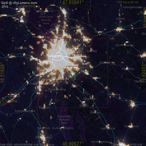
Analysis of Gyál night lights 2016
Square area 10x10 km:
 6.25%
6.25%90-99
9.08%80-89
3.87%70-79
6.25%60-69
6.4%50-59
6.4%40-49
6.99%30-39
9.08%20-29
15.33%10-19
21.43%0-9
8.93%Square area 50x50 km:
9.97%90-99
5.53%80-89
1.98%70-79
2.22%60-69
2.89%50-59
3.46%40-49
4.09%30-39
4.42%20-29
5.52%10-19
8.66%0-9
51.27%Clear (daylight) street map image can be seen on geolist.org.
Map coordinates:
47° 51' 30.3" North, 18° 31' 5.8" East
47° 23' 4.2" North, 19° 13' 17" East
46° 54' 22.6" North, 19° 55' 28.3" East
Some cities around Gyál sort by population:
• Budapest XVIII. kerület
7.5 km =4.7 mi,  332°
332°
• Budapest XIX. kerület
9.3 km =5.8 mi,  324°
324°
• Kispest
9.6 km =6 mi, 320°
• Budapest XXIII. kerület
8.2 km =5.1 mi,  280°
280°
• Vecsés
5.5 km =3.4 mi,  62°
62°
• Dunaharaszti
9.9 km =6.2 mi,  250°
250°
• Üllő
10.1 km =6.3 mi,  87°
87°
• Ócsa
9.4 km =5.8 mi,  175°
175°
3052101 (p: 21,937)
Sources (retrieved 2019-11-25):
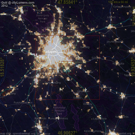
» Earth at Night: Flat Maps 2012, 2016