Budapest XIX. kerület night lights from space
Night Light of Budapest XIX. kerület (Budapest) from space (Hungary) Src. Average luminocity for 10x10km area is 92.8054% and for 50x50km: 33.3285%.
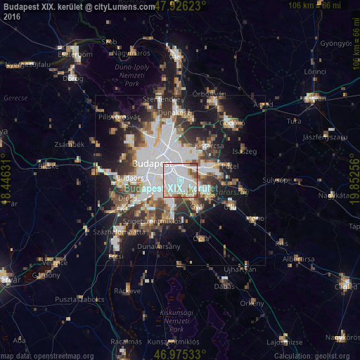
Analysis of Budapest XIX. kerület night lights 2016
Square area 10x10 km:
 58.66%
90-99
21.16%80-89
5.26%70-79
4.69%60-69
3.13%50-59
4.97%40-49
2.13%30-39
0%20-29
0%10-19
0%0-9
0%Square area 50x50 km:
10.5%90-99
6.13%80-89
2.38%70-79
2.75%60-69
3.4%50-59
3.93%40-49
4.56%30-39
5.14%20-29
6.96%10-19
14.38%0-9
39.87%Clear (daylight) street map image can be seen on geolist.org.
Map coordinates:
47° 55' 34.4" North, 18° 26' 46.7" East
47° 27' 10.5" North, 19° 8' 57.9" East
46° 58' 31.2" North, 19° 51' 9.2" East
Some cities around Budapest XIX. kerület sort by population:
• Zugló
7.9 km =4.9 mi,  335°
335°
• Kőbánya
3.6 km =2.2 mi,  347°
347°
• Józsefváros
7 km =4.3 mi,  305°
305°
• Erzsébetváros
8 km =5 mi, 313°
• Kispest
0.7 km =0.4 mi,  257°
257°
• Gyál
9.3 km =5.8 mi,  144°
144°
• Vecsés
11.5 km =7.1 mi,  116°
116°
• Dunaharaszti
11.6 km =7.2 mi,  199°
199°
7284835 (p: 61,610)
Sources (retrieved 2019-11-25):
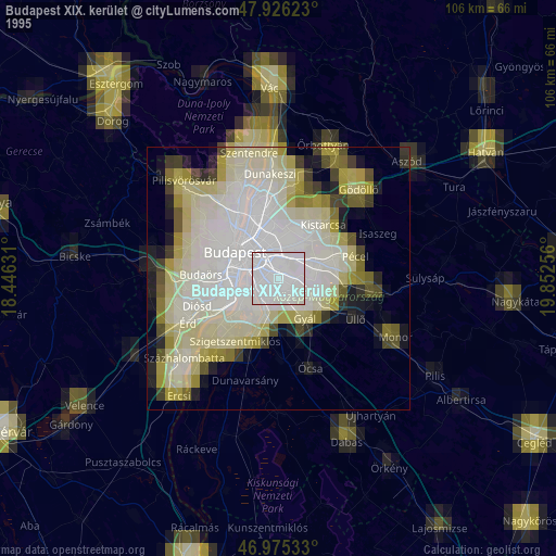
» NASA, Earths city lights 1995
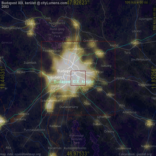
» NASA city lights 2003
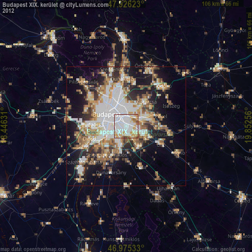
» Earth at Night: Flat Maps 2012, 2016