Cegléd night lights from space
Night Light of Cegléd (Pest) from space (Hungary) Src. Average luminocity for 10x10km area is 13.317% and for 50x50km: 1.7042%.
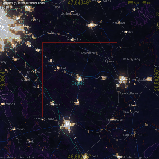
Analysis of Cegléd night lights 2016
Square area 10x10 km:
 1.49%
1.49%90-99
1.64%80-89
1.04%70-79
0.74%60-69
2.53%50-59
3.57%40-49
1.64%30-39
2.68%20-29
2.23%10-19
1.79%0-9
80.65%Square area 50x50 km:
0.09%90-99
0.15%80-89
0.09%70-79
0.21%60-69
0.24%50-59
0.43%40-49
0.39%30-39
0.32%20-29
0.36%10-19
0.57%0-9
97.15%Clear (daylight) street map image can be seen on geolist.org.
Map coordinates:
47° 38' 54.6" North, 19° 5' 47" East
47° 10' 21.6" North, 19° 47' 58.3" East
46° 41' 33.1" North, 20° 30' 9.5" East
Some cities around Cegléd sort by population:
• Nagykőrös
15.5 km =9.6 mi,  185°
185°
• Abony
15.6 km =9.7 mi,  82°
82°
• Albertirsa
15.9 km =9.9 mi,  299°
299°
• Pilis
23 km =14.3 mi, 304°
• Lajosmizse
24.6 km =15.3 mi,  226°
226°
• Újszász
25.7 km =16 mi,  56°
56°
• Tápiószele
19.1 km =11.9 mi,  17°
17°
• Tápiószentmárton
19 km =11.8 mi,  347°
347°
3054543 (p: 39,287)
Sources (retrieved 2019-11-25):
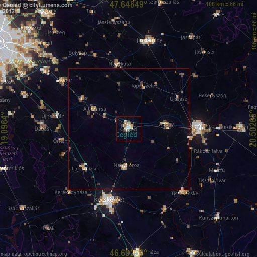
» Earth at Night: Flat Maps 2012, 2016