Nagykőrös night lights from space
Night Light of Nagykőrös (Pest) from space (Hungary) Src. Average luminocity for 10x10km area is 6.1903% and for 50x50km: 3.7204%.
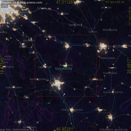
Analysis of Nagykőrös night lights 2016
Square area 10x10 km:
 0.57%
0.57%90-99
0.57%80-89
0.57%70-79
1.56%60-69
1.99%50-59
0.85%40-49
0.71%30-39
0%20-29
0.57%10-19
1.14%0-9
91.48%Square area 50x50 km:
0.42%90-99
0.53%80-89
0.44%70-79
0.46%60-69
0.46%50-59
0.5%40-49
0.51%30-39
0.53%20-29
1.01%10-19
2.48%0-9
92.66%Clear (daylight) street map image can be seen on geolist.org.
Map coordinates:
47° 30' 40.5" North, 19° 4' 31.6" East
47° 2' 3.1" North, 19° 46' 42.9" East
46° 33' 10.1" North, 20° 28' 54.1" East
Some cities around Nagykőrös sort by population:
• Kecskemét
15.7 km =9.8 mi,  204°
204°
• Cegléd
15.5 km =9.6 mi,  5°
5°
• Abony
24.3 km =15.1 mi,  44°
44°
• Albertirsa
26.3 km =16.3 mi,  332°
332°
• Tiszakécske
27.1 km =16.8 mi,  114°
114°
• Lajosmizse
16.5 km =10.3 mi,  265°
265°
• Kerekegyháza
25.2 km =15.7 mi,  244°
244°
• Örkény
28.2 km =17.5 mi,  292°
292°
3047651 (p: 26,711)
Sources (retrieved 2019-11-25):
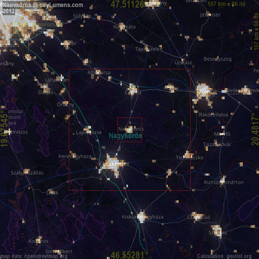
» Earth at Night: Flat Maps 2012, 2016