Abony night lights from space
Night Light of Abony (Pest) from space (Hungary) Src. Average luminocity for 10x10km area is 3.6815% and for 50x50km: 2.8304%.
Analysis of Abony night lights 2016
Square area 10x10 km:
 0%
0%90-99
0%80-89
0%70-79
0.6%60-69
0.15%50-59
1.04%40-49
3.27%30-39
0.89%20-29
0.3%10-19
1.49%0-9
92.26%Square area 50x50 km:
0.28%90-99
0.36%80-89
0.32%70-79
0.31%60-69
0.33%50-59
0.41%40-49
0.64%30-39
0.4%20-29
0.44%10-19
1.99%0-9
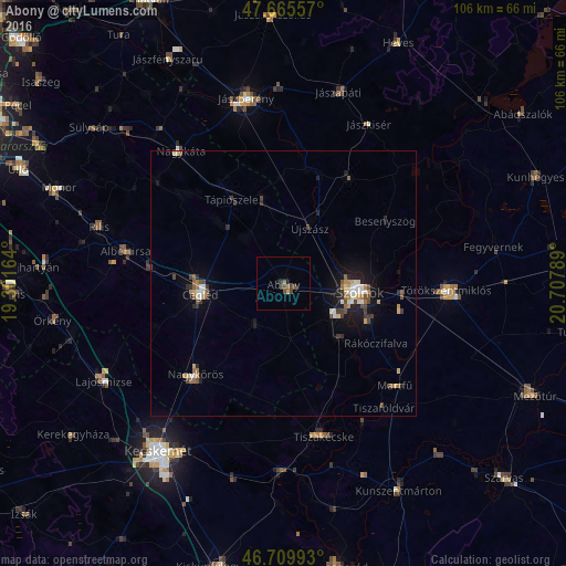
94.52%Clear (daylight) street map image can be seen on geolist.org.
Map coordinates:
47° 39' 56.1" North, 19° 18' 5.9" East
47° 11' 23.6" North, 20° 0' 17.1" East
46° 42' 35.7" North, 20° 42' 28.4" East
Some cities around Abony sort by population:
• Szolnok
14.8 km =9.2 mi,  92°
92°
• Cegléd
15.6 km =9.7 mi,  262°
262°
• Nagykőrös
24.3 km =15.1 mi,  224°
224°
• Újszász
13.6 km =8.5 mi,  25°
25°
• Jászladány
23.1 km =14.4 mi, 31°
• Tápiószele
18.9 km =11.7 mi,  329°
329°
• Tápiószentmárton
25.7 km =16 mi,  310°
310°
• Rákóczifalva
21 km =13 mi,  124°
124°
723030 (p: 16,342)
Sources (retrieved 2019-11-25):
» Earth at Night: Flat Maps 2012, 2016