Pilis night lights from space
Night Light of Pilis (Pest) from space (Hungary) Src. Average luminocity for 10x10km area is 3.4211% and for 50x50km: 5.7438%.
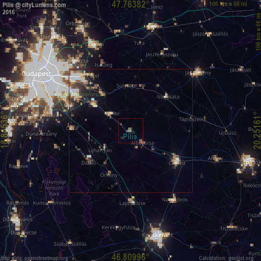
Analysis of Pilis night lights 2016
Square area 10x10 km:
 0%
0%90-99
0%80-89
0%70-79
0%60-69
0.3%50-59
3.13%40-49
0.74%30-39
1.34%20-29
0.6%10-19
0.89%0-9
93.01%Square area 50x50 km:
0.63%90-99
0.95%80-89
0.53%70-79
0.54%60-69
0.75%50-59
1.09%40-49
1.1%30-39
1.3%20-29
1.44%10-19
2.6%0-9
89.06%Clear (daylight) street map image can be seen on geolist.org.
Map coordinates:
47° 45' 49.8" North, 18° 50' 43.3" East
47° 17' 20.5" North, 19° 32' 54.5" East
46° 48' 35.9" North, 20° 15' 5.8" East
Some cities around Pilis sort by population:
• Monor
10.3 km =6.4 mi,  312°
312°
• Gyömrő
19 km =11.8 mi,  324°
324°
• Albertirsa
7.3 km =4.5 mi,  134°
134°
• Üllő
18.2 km =11.3 mi, 307°
• Sülysáp
18.2 km =11.3 mi,  356°
356°
• Tápiószecső
18.5 km =11.5 mi,  14°
14°
• Tápiószentmárton
16 km =9.9 mi,  69°
69°
• Örkény
19.7 km =12.2 mi,  206°
206°
3046355 (p: 11,102)
Sources (retrieved 2019-11-25):
» Earth at Night: Flat Maps 2012, 2016