Lajosmizse night lights from space
Night Light of Lajosmizse (Bács-Kiskun) from space (Hungary) Src. Average luminocity for 10x10km area is 4.9517% and for 50x50km: 3.8908%.
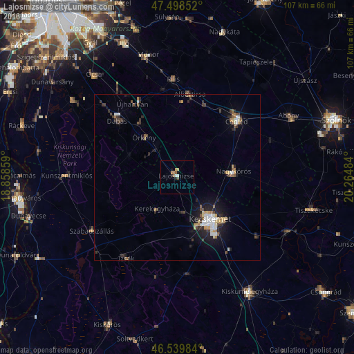
Analysis of Lajosmizse night lights 2016
Square area 10x10 km:
 0.28%
0.28%90-99
0.85%80-89
0.57%70-79
1.42%60-69
0.28%50-59
1.56%40-49
0.14%30-39
0%20-29
1.14%10-19
1.14%0-9
92.61%Square area 50x50 km:
0.43%90-99
0.62%80-89
0.44%70-79
0.38%60-69
0.46%50-59
0.54%40-49
0.47%30-39
0.76%20-29
1.15%10-19
2.41%0-9
92.34%Clear (daylight) street map image can be seen on geolist.org.
Map coordinates:
47° 29' 54.7" North, 18° 51' 30.9" East
47° 1' 16.8" North, 19° 33' 42.2" East
46° 32' 23.4" North, 20° 15' 53.4" East
Some cities around Lajosmizse sort by population:
• Kecskemét
16.1 km =10 mi,  142°
142°
• Cegléd
24.6 km =15.3 mi,  46°
46°
• Nagykőrös
16.5 km =10.3 mi,  85°
85°
• Dabas
26.4 km =16.4 mi,  313°
313°
• Albertirsa
25 km =15.5 mi,  9°
9°
• Izsák
28.9 km =18 mi,  213°
213°
• Kerekegyháza
11.3 km =7 mi, 214°
• Örkény
15.5 km =9.6 mi,  321°
321°
3049002 (p: 11,034)
Sources (retrieved 2019-11-25):
» Earth at Night: Flat Maps 2012, 2016