Vinkovci night lights from space
Night Light of Vinkovci (Vukovar-Sirmium) from space (Croatia) Src. Average luminocity for 10x10km area is 30.2746% and for 50x50km: 5.484%.
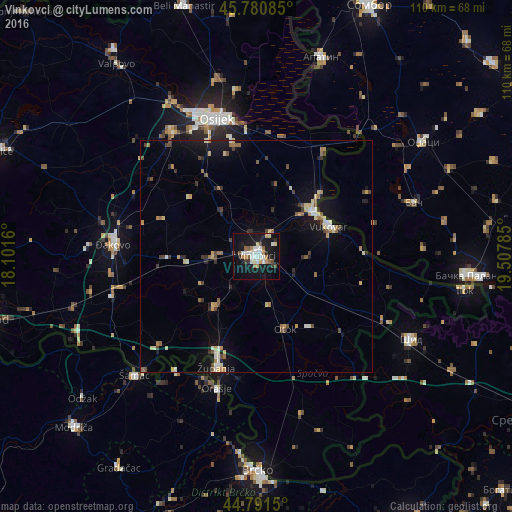
Analysis of Vinkovci night lights 2016
Square area 10x10 km:
 5.56%
5.56%90-99
6.67%80-89
2.54%70-79
3.17%60-69
3.17%50-59
3.97%40-49
1.9%30-39
1.59%20-29
2.22%10-19
42.22%0-9
26.98%Square area 50x50 km:
0.42%90-99
0.72%80-89
0.79%70-79
0.59%60-69
0.76%50-59
0.69%40-49
0.86%30-39
0.58%20-29
0.7%10-19
4.64%0-9
89.25%Clear (daylight) street map image can be seen on geolist.org.
Map coordinates:
45° 46' 51.1" North, 18° 6' 5.8" East
45° 17' 18" North, 18° 48' 17" East
44° 47' 29.4" North, 19° 30' 28.3" East
Some cities around Vinkovci sort by population:
• Osijek
30.5 km =19 mi,  343°
343°
• Vukovar
17 km =10.6 mi,  65°
65°
• Županja
24.9 km =15.5 mi,  199°
199°
• Tenja
23.7 km =14.7 mi,  349°
349°
• Ivankovo
9.5 km =5.9 mi,  270°
270°
• Otok
16.9 km =10.5 mi,  158°
158°
• Donja Mahala, BA
29.2 km =18.1 mi, 201°
• Borovo
16 km =9.9 mi,  52°
52°
3187719 (p: 33,314)
Sources (retrieved 2019-11-25):
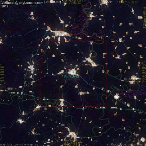
» Earth at Night: Flat Maps 2012, 2016