Otok night lights from space
Night Light of Otok (Vukovar-Sirmium) from space (Croatia) Src. Average luminocity for 10x10km area is 3.7909% and for 50x50km: 4.7011%.
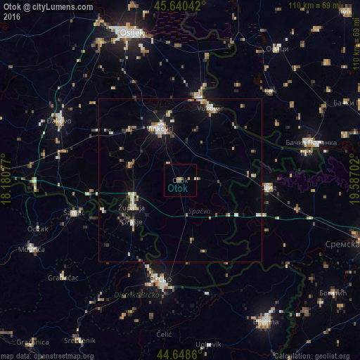
Analysis of Otok night lights 2016
Square area 10x10 km:
 0.3%
0.3%90-99
0.3%80-89
0.3%70-79
1.06%60-69
1.06%50-59
0.15%40-49
1.67%30-39
0%20-29
0%10-19
0%0-9
95.15%Square area 50x50 km:
0.46%90-99
0.72%80-89
0.54%70-79
0.63%60-69
0.56%50-59
0.61%40-49
0.68%30-39
0.4%20-29
0.58%10-19
3.57%0-9
91.26%Clear (daylight) street map image can be seen on geolist.org.
Map coordinates:
45° 38' 25.5" North, 18° 10' 50.8" East
45° 8' 48" North, 18° 53' 2" East
44° 38' 55" North, 19° 35' 13.3" East
Some cities around Otok sort by population:
• Brčko, BA
31.3 km =19.4 mi,  190°
190°
• Vinkovci
16.9 km =10.5 mi,  338°
338°
• Vukovar
24.6 km =15.3 mi,  22°
22°
• Županja
16.5 km =10.3 mi,  242°
242°
• Ivankovo
22.2 km =13.8 mi,  315°
315°
• Donja Mahala, BA
20.4 km =12.7 mi, 235°
• Gunja
29.7 km =18.5 mi,  184°
184°
• Borovo
26.4 km =16.4 mi,  14°
14°
3193781 (p: 5,887)
Sources (retrieved 2019-11-25):
» Earth at Night: Flat Maps 2012, 2016