Vukovar night lights from space
Night Light of Vukovar (Vukovar-Sirmium) from space (Croatia) Src. Average luminocity for 10x10km area is 22.4905% and for 50x50km: 6.2632%.
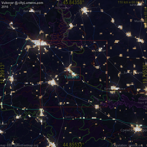
Analysis of Vukovar night lights 2016
Square area 10x10 km:
 3.02%
3.02%90-99
4.29%80-89
4.92%70-79
1.43%60-69
3.02%50-59
1.9%40-49
2.22%30-39
0.79%20-29
0.95%10-19
26.67%0-9
50.79%Square area 50x50 km:
0.67%90-99
0.91%80-89
0.77%70-79
0.67%60-69
0.76%50-59
1%40-49
0.97%30-39
0.53%20-29
1.13%10-19
4.48%0-9
88.11%Clear (daylight) street map image can be seen on geolist.org.
Map coordinates:
45° 50' 36.9" North, 18° 17' 56.9" East
45° 21' 5.8" North, 19° 0' 8.1" East
44° 51' 19.2" North, 19° 42' 19.4" East
Some cities around Vukovar sort by population:
• Osijek
32.7 km =20.3 mi,  312°
312°
• Vinkovci
17 km =10.6 mi,  245°
245°
• Tenja
25.7 km =16 mi, 309°
• Ivankovo
25.9 km =16.1 mi, 254°
• Sonta, RS
28 km =17.4 mi,  15°
15°
• Ilok
32.7 km =20.3 mi,  116°
116°
• Otok
24.6 km =15.3 mi,  202°
202°
• Borovo
3.9 km =2.4 mi, 314°
3187047 (p: 29,584)
Sources (retrieved 2019-11-25):
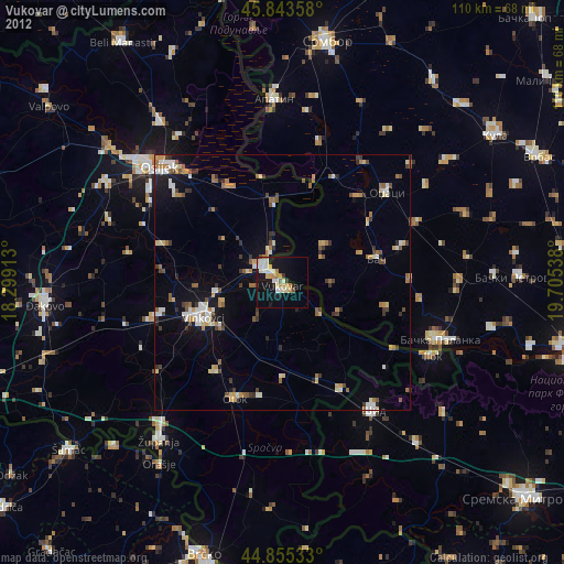
» Earth at Night: Flat Maps 2012, 2016