Karlovac night lights from space
Night Light of Karlovac (Karlovačka) from space (Croatia) Src. Average luminocity for 10x10km area is 36.4905% and for 50x50km: 3.3384%.
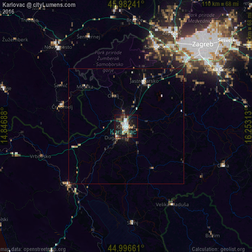
Analysis of Karlovac night lights 2016
Square area 10x10 km:
 5.87%
5.87%90-99
6.67%80-89
3.33%70-79
2.86%60-69
4.29%50-59
6.67%40-49
5.24%30-39
6.03%20-29
12.06%10-19
32.38%0-9
14.6%Square area 50x50 km:
0.32%90-99
0.48%80-89
0.17%70-79
0.23%60-69
0.45%50-59
0.44%40-49
0.79%30-39
0.69%20-29
0.95%10-19
2.52%0-9
92.95%Clear (daylight) street map image can be seen on geolist.org.
Map coordinates:
45° 58' 56.7" North, 14° 50' 48.8" East
45° 29' 30" North, 15° 33' 0" East
44° 59' 47.8" North, 16° 15' 11.3" East
Some cities around Karlovac sort by population:
• Velika Kladuša, BA
39.5 km =24.5 mi,  149°
149°
• Samobor
37 km =23 mi,  20°
20°
• Brezovica
38.5 km =23.9 mi,  46°
46°
• Ogulin
35.5 km =22.1 mi,  225°
225°
• Črnomelj, SI
29.5 km =18.3 mi,  287°
287°
• Jastrebarsko
21.1 km =13.1 mi, 21°
• Metlika, SI
25.2 km =15.7 mi,  313°
313°
• Semič, SI
33.4 km =20.8 mi,  300°
300°
3345300 (p: 46,833)
Sources (retrieved 2019-11-25):
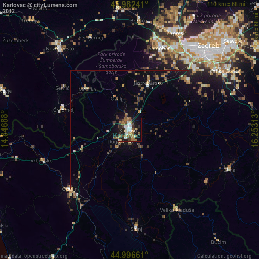
» Earth at Night: Flat Maps 2012, 2016