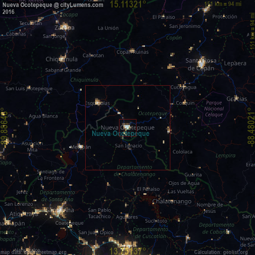
Nueva Ocotepeque night lights from space
Night Light of Nueva Ocotepeque (Ocotepeque) from space (Honduras) Src. Average luminocity for 10x10km area is 15.3203% and for 50x50km: 1.591%.
Analysis of Nueva Ocotepeque night lights 2016
Square area 10x10 km:
 1.73%
1.73%90-99
3.46%80-89
0.87%70-79
0.87%60-69
2.6%50-59
0%40-49
4.33%30-39
3.9%20-29
2.16%10-19
1.08%0-9
79%Square area 50x50 km:
0.09%90-99
0.27%80-89
0.24%70-79
0.1%60-69
0.24%50-59
0.09%40-49
0.43%30-39
0.41%20-29
0.3%10-19
0.2%0-9
97.63%Clear (daylight) street map image can be seen on geolist.org.
Map coordinates:
15° 6' 47.6" North, 89° 53' 11.3" West
14° 25' 60" North, 89° 10' 60" West
13° 45' 4.9" North, 88° 28' 48.8" West
Some cities around Nueva Ocotepeque sort by population:
• Chiquimula, GT
56.4 km =35 mi,  316°
316°
• Aguilares, SV
52.9 km =32.9 mi,  180°
180°
• Esquipulas, GT
23.3 km =14.5 mi,  309°
309°
• Chalatenango, SV
52 km =32.3 mi,  148°
148°
• Metapán, SV
30.8 km =19.1 mi,  248°
248°
• Copán
44.6 km =27.7 mi,  4°
4°
• San Marcos
25.4 km =15.8 mi,  98°
98°
• Ipala, GT
50.9 km =31.6 mi,  293°
293°
3604384 (p: 8,780)
Sources (retrieved 2019-11-25):
» Earth at Night: Flat Maps 2012, 2016