Ipala night lights from space
Night Light of Ipala (Chiquimula) from space (Guatemala) Src. Average luminocity for 10x10km area is 0.9524% and for 50x50km: 0.7824%.
Analysis of Ipala night lights 2016
Square area 10x10 km:
 0%
0%90-99
0%80-89
0%70-79
0%60-69
0%50-59
0%40-49
0.87%30-39
1.3%20-29
0.43%10-19
0%0-9
97.4%Square area 50x50 km:
0%90-99
0.05%80-89
0.08%70-79
0.01%60-69
0.3%50-59
0.15%40-49
0.21%30-39
0.2%20-29
0.21%10-19
0.19%0-9
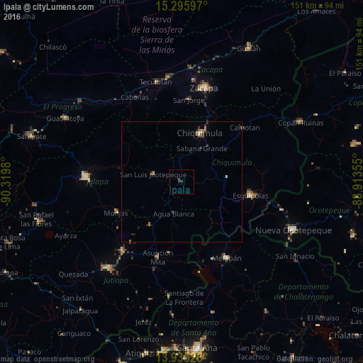
98.59%Clear (daylight) street map image can be seen on geolist.org.
Map coordinates:
15° 17' 45.5" North, 90° 19' 11.3" West
14° 37' 0" North, 89° 37' 0" West
13° 56' 6.9" North, 88° 54' 48.8" West
Some cities around Ipala sort by population:
• Chiquimula
21.8 km =13.5 mi,  20°
20°
• Esquipulas
29.1 km =18.1 mi,  101°
101°
• Metapán, SV
36.3 km =22.6 mi,  150°
150°
• Asunción Mita
33.4 km =20.8 mi,  197°
197°
• Santa Catarina Mita
23.4 km =14.5 mi,  217°
217°
• Monjas
29.9 km =18.6 mi,  244°
244°
• San Luis Jilotepeque
13.1 km =8.1 mi,  286°
286°
• El Progreso
38.9 km =24.2 mi, 220°
3595366 (p: 5,283)
Sources (retrieved 2019-11-25):
» Earth at Night: Flat Maps 2012, 2016