Chiquimula night lights from space
Night Light of Chiquimula from space (Guatemala) Src. Average luminocity for 10x10km area is 11.3595% and for 50x50km: 2.1286%.
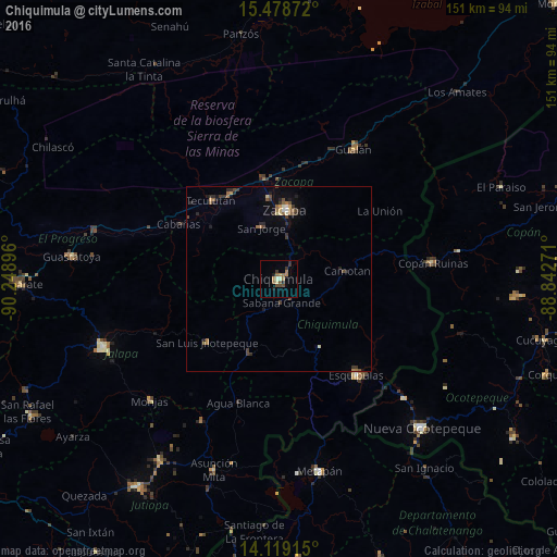
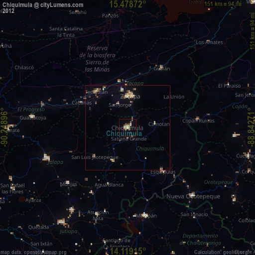
Analysis of Chiquimula night lights 2016
Square area 10x10 km:
 0%
0%90-99
0.83%80-89
1.65%70-79
0.21%60-69
4.55%50-59
1.86%40-49
3.31%30-39
2.27%20-29
1.86%10-19
1.65%0-9
81.82%Square area 50x50 km:
0.03%90-99
0.17%80-89
0.25%70-79
0.12%60-69
0.45%50-59
0.42%40-49
0.53%30-39
0.55%20-29
0.64%10-19
0.77%0-9
96.06%Clear (daylight) street map image can be seen on geolist.org.
Map coordinates:
15° 28' 43.4" North, 90° 14' 56.3" West
14° 48' 0" North, 89° 32' 45" West
14° 7' 8.9" North, 88° 50' 33.8" West
Some cities around Chiquimula sort by population:
• Zacapa
19.2 km =11.9 mi,  4°
4°
• Esquipulas
33.4 km =20.8 mi,  141°
141°
• Gualán
40.9 km =25.4 mi,  29°
29°
• San Luis Jilotepeque
26.2 km =16.3 mi,  230°
230°
• Estanzuela
22.4 km =13.9 mi,  354°
354°
• Teculután
27.4 km =17 mi,  317°
317°
• Río Hondo
29.9 km =18.6 mi, 352°
• Ipala
21.8 km =13.5 mi,  200°
200°
3598465 (p: 41,521)
Sources (retrieved 2019-11-25):
» Earth at Night: Flat Maps 2012, 2016