Danlí night lights from space
Night Light of Danlí (El Paraíso) from space (Honduras) Src. Average luminocity for 10x10km area is 21.0022% and for 50x50km: 1.3615%.
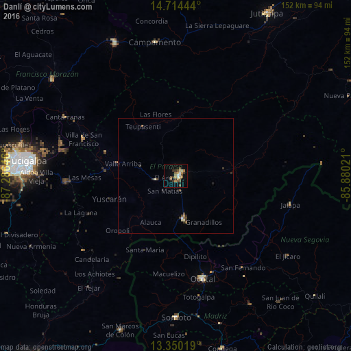
Analysis of Danlí night lights 2016
Square area 10x10 km:
 1.08%
1.08%90-99
3.25%80-89
1.73%70-79
3.68%60-69
5.41%50-59
2.6%40-49
4.33%30-39
4.76%20-29
0%10-19
5.84%0-9
67.32%Square area 50x50 km:
0.06%90-99
0.19%80-89
0.12%70-79
0.18%60-69
0.26%50-59
0.2%40-49
0.33%30-39
0.34%20-29
0.14%10-19
0.26%0-9
97.92%Clear (daylight) street map image can be seen on geolist.org.
Map coordinates:
14° 42' 52" North, 87° 17' 11.3" West
14° 1' 60" North, 86° 34' 60" West
13° 21' 0.7" North, 85° 52' 48.8" West
Some cities around Danlí sort by population:
• Ocotal, NI
46.1 km =28.6 mi,  165°
165°
• Jalapa, NI
51.1 km =31.8 mi,  103°
103°
• Somoto, NI
61.4 km =38.2 mi,  179°
179°
• El Paraíso
18.9 km =11.7 mi, 169°
• Guaimaca
61 km =37.9 mi,  335°
335°
• Campamento
57.9 km =36 mi,  352°
352°
• Villa de San Francisco
43.9 km =27.3 mi,  289°
289°
• Yuscarán
30.7 km =19.1 mi,  251°
251°
3612907 (p: 44,799)
Sources (retrieved 2019-11-25):
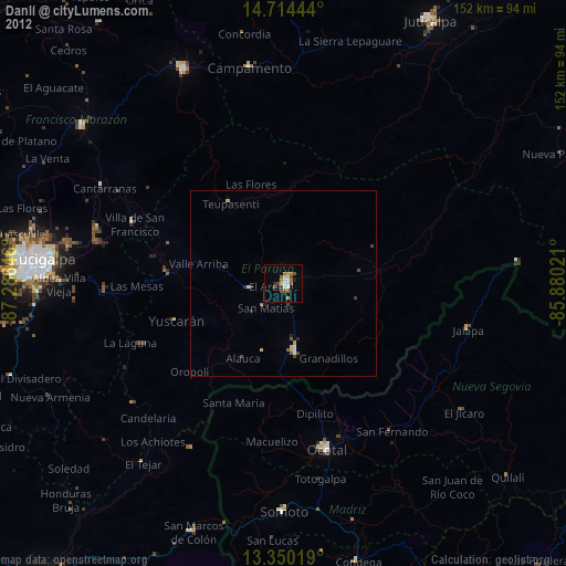
» Earth at Night: Flat Maps 2012, 2016