Jalapa night lights from space
Night Light of Jalapa (Nueva Segovia) from space (Nicaragua) Src. Average luminocity for 10x10km area is 1.6384% and for 50x50km: 0.1806%.
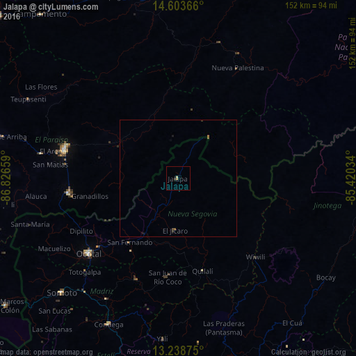
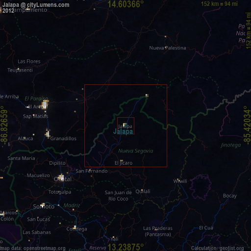
Analysis of Jalapa night lights 2016
Square area 10x10 km:
 0%
0%90-99
0.41%80-89
0.41%70-79
0.41%60-69
0.41%50-59
0%40-49
0%30-39
0%20-29
0.83%10-19
0%0-9
97.52%Square area 50x50 km:
0%90-99
0.02%80-89
0.02%70-79
0.02%60-69
0.08%50-59
0.03%40-49
0%30-39
0.03%20-29
0.1%10-19
0.07%0-9
99.64%Clear (daylight) street map image can be seen on geolist.org.
Map coordinates:
14° 36' 13.2" North, 86° 49' 35.7" West
13° 55' 20" North, 86° 7' 24.5" West
13° 14' 19.5" North, 85° 25' 13.2" West
Some cities around Jalapa sort by population:
• Danlí, HN
51.1 km =31.8 mi,  283°
283°
• Ocotal
49.8 km =30.9 mi,  229°
229°
• Somoto
69.7 km =43.3 mi, 225°
• El Paraíso, HN
46.5 km =28.9 mi,  262°
262°
• Quilalí
40.9 km =25.4 mi,  165°
165°
• Condega
68.7 km =42.7 mi,  205°
205°
• Wiwilí
46 km =28.6 mi,  135°
135°
• Las Trojes, HN
22.1 km =13.7 mi,  43°
43°
3618954 (p: 24,037)
Sources (retrieved 2019-11-25):
» Earth at Night: Flat Maps 2012, 2016