Talanga night lights from space
Night Light of Talanga (Francisco Morazán) from space (Honduras) Src. Average luminocity for 10x10km area is 4.9177% and for 50x50km: 0.5787%.
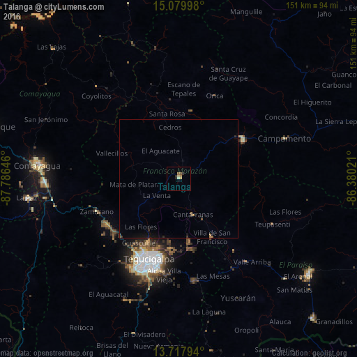
Analysis of Talanga night lights 2016
Square area 10x10 km:
 0%
0%90-99
0.43%80-89
1.3%70-79
0.87%60-69
1.52%50-59
1.08%40-49
0%30-39
0%20-29
2.6%10-19
0%0-9
92.21%Square area 50x50 km:
0%90-99
0.02%80-89
0.05%70-79
0.08%60-69
0.16%50-59
0.09%40-49
0.02%30-39
0.04%20-29
0.22%10-19
0.29%0-9
99.04%Clear (daylight) street map image can be seen on geolist.org.
Map coordinates:
15° 4' 47.9" North, 87° 47' 11.3" West
14° 24' 0" North, 87° 4' 60" West
13° 43' 4.6" North, 86° 22' 48.8" West
Some cities around Talanga sort by population:
• Tegucigalpa
37.8 km =23.5 mi,  200°
200°
• Comayagua
59.9 km =37.2 mi,  275°
275°
• La Paz
64.8 km =40.3 mi,  262°
262°
• Guaimaca
32.3 km =20.1 mi,  62°
62°
• Campamento
49.5 km =30.8 mi,  70°
70°
• Villa de San Francisco
28.8 km =17.9 mi,  154°
154°
• Villa de San Antonio
58.2 km =36.2 mi, 260°
• Yuscarán
56.5 km =35.1 mi, 153°
3601072 (p: 13,492)
Sources (retrieved 2019-11-25):
» Earth at Night: Flat Maps 2012, 2016