Gracias night lights from space
Night Light of Gracias (Lempira) from space (Honduras) Src. Average luminocity for 10x10km area is 3.868% and for 50x50km: 1.3306%.
Analysis of Gracias night lights 2016
Square area 10x10 km:
 0%
0%90-99
0%80-89
1.52%70-79
0.22%60-69
0%50-59
0%40-49
1.73%30-39
1.73%20-29
2.38%10-19
1.08%0-9
91.34%Square area 50x50 km:
0.17%90-99
0.15%80-89
0.1%70-79
0.16%60-69
0.16%50-59
0.14%40-49
0.28%30-39
0.45%20-29
0.27%10-19
0.88%0-9
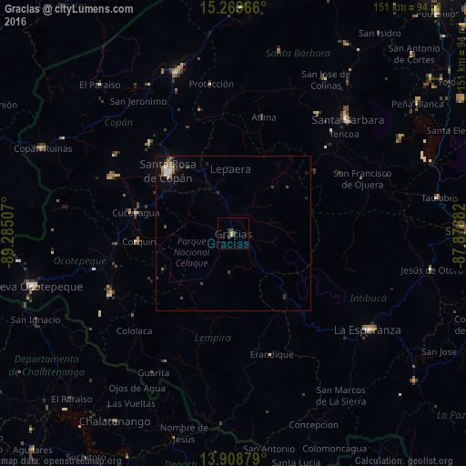
97.24%Clear (daylight) street map image can be seen on geolist.org.
Map coordinates:
15° 16' 10.8" North, 89° 17' 6.3" West
14° 35' 25" North, 88° 34' 55" West
13° 54' 31.6" North, 87° 52' 43.8" West
Some cities around Gracias sort by population:
• Santa Rosa de Copán
28.9 km =18 mi,  312°
312°
• Santa Bárbara
52.2 km =32.4 mi,  45°
45°
• La Entrada
53.6 km =33.3 mi,  342°
342°
• Intibucá
54.1 km =33.6 mi,  124°
124°
• San Luis
58.8 km =36.5 mi,  21°
21°
• San Marcos
44.9 km =27.9 mi,  241°
241°
• Florida
56.2 km =34.9 mi,  331°
331°
• La Esperanza
53.2 km =33.1 mi,  125°
125°
3609586 (p: 7,909)
Sources (retrieved 2019-11-25):
» Earth at Night: Flat Maps 2012, 2016