Florida night lights from space
Night Light of Florida (Copán) from space (Honduras) Src. Average luminocity for 10x10km area is 2.9339% and for 50x50km: 1.2064%.
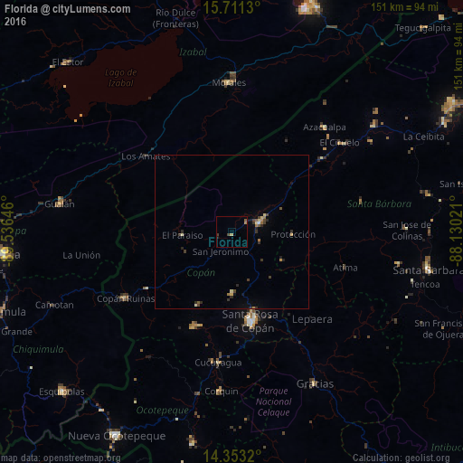
Analysis of Florida night lights 2016
Square area 10x10 km:
 0%
0%90-99
0%80-89
0.83%70-79
0.21%60-69
0.62%50-59
0.83%40-49
0.83%30-39
0.83%20-29
0%10-19
0.83%0-9
95.04%Square area 50x50 km:
0%90-99
0.07%80-89
0.22%70-79
0.13%60-69
0.18%50-59
0.17%40-49
0.24%30-39
0.44%20-29
0.34%10-19
0.27%0-9
97.93%Clear (daylight) street map image can be seen on geolist.org.
Map coordinates:
15° 42' 40.7" North, 89° 32' 11.3" West
15° 1' 60" North, 88° 49' 60" West
14° 21' 11.5" North, 88° 7' 48.8" West
Some cities around Florida sort by population:
• Santa Rosa de Copán
30.2 km =18.8 mi,  168°
168°
• Gualán, GT
57.1 km =35.5 mi,  279°
279°
• Morales, GT
48.8 km =30.3 mi,  359°
359°
• La Entrada
10.9 km =6.8 mi,  80°
80°
• Gracias
56.2 km =34.9 mi,  151°
151°
• Copán
40.6 km =25.2 mi,  236°
236°
• Azacualpa
45.9 km =28.5 mi,  41°
41°
• San Luis
48.6 km =30.2 mi, 83°
3609681 (p: 5,340)
Sources (retrieved 2019-11-25):
» Earth at Night: Flat Maps 2012, 2016