La Esperanza night lights from space
Night Light of La Esperanza (Intibucá) from space (Honduras) Src. Average luminocity for 10x10km area is 9.8074% and for 50x50km: 0.6383%.
Analysis of La Esperanza night lights 2016
Square area 10x10 km:
 1.08%
1.08%90-99
0.65%80-89
0%70-79
1.52%60-69
2.81%50-59
3.46%40-49
2.6%30-39
0.22%20-29
1.52%10-19
0%0-9
86.15%Square area 50x50 km:
0.04%90-99
0.08%80-89
0.01%70-79
0.09%60-69
0.11%50-59
0.21%40-49
0.16%30-39
0.14%20-29
0.12%10-19
0.04%0-9
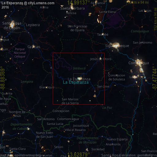
99%Clear (daylight) street map image can be seen on geolist.org.
Map coordinates:
14° 59' 28.9" North, 88° 53' 1.3" West
14° 18' 40" North, 88° 10' 50" West
13° 37' 43.6" North, 87° 28' 38.8" West
Some cities around La Esperanza sort by population:
• Comayagua
60.5 km =37.6 mi,  75°
75°
• Siguatepeque
49.3 km =30.6 mi,  49°
49°
• La Paz
54 km =33.6 mi,  89°
89°
• Intibucá
1.6 km =1 mi,  67°
67°
• Marcala
23.9 km =14.9 mi,  138°
138°
• Gracias
53.2 km =33.1 mi,  305°
305°
• Jesús de Otoro
28.6 km =17.8 mi, 47°
• Ajuterique
52.4 km =32.6 mi, 81°
3607966 (p: 5,318)
Sources (retrieved 2019-11-25):
» Earth at Night: Flat Maps 2012, 2016