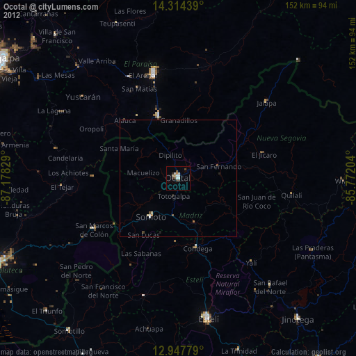
Ocotal night lights from space
Night Light of Ocotal (Nueva Segovia) from space (Nicaragua) Src. Average luminocity for 10x10km area is 12.9339% and for 50x50km: 1.0895%.
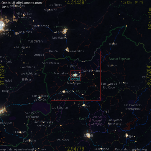
Analysis of Ocotal night lights 2016
Square area 10x10 km:
 1.45%
1.45%90-99
1.86%80-89
3.31%70-79
1.65%60-69
0.83%50-59
1.03%40-49
1.45%30-39
1.65%20-29
2.48%10-19
0%0-9
84.3%Square area 50x50 km:
0.07%90-99
0.12%80-89
0.21%70-79
0.17%60-69
0.1%50-59
0.16%40-49
0.16%30-39
0.26%20-29
0.34%10-19
0.05%0-9
98.38%Clear (daylight) street map image can be seen on geolist.org.
Map coordinates:
14° 18' 51.8" North, 87° 10' 41.8" West
13° 37' 55.5" North, 86° 28' 30.6" West
12° 56' 52" North, 85° 46' 19.3" West
Some cities around Ocotal sort by population:
• Danlí, HN
46.1 km =28.6 mi,  345°
345°
• Jalapa
49.8 km =30.9 mi,  49°
49°
• Somoto
20.4 km =12.7 mi,  214°
214°
• El Paraíso, HN
27.3 km =17 mi,  342°
342°
• Quilalí
49.1 km =30.5 mi,  98°
98°
• Condega
30.8 km =19.1 mi,  164°
164°
• San Marcos de Colón, HN
41.5 km =25.8 mi,  237°
237°
• Yuscarán, HN
53.5 km =33.2 mi,  310°
310°
3617448 (p: 33,928)
Sources (retrieved 2019-11-25):
» Earth at Night: Flat Maps 2012, 2016