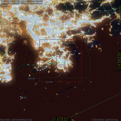
Sham Shui Po night lights from space
Night Light of Sham Shui Po from space (Hong Kong) Src. Average luminocity for 10x10km area is 92.4924% and for 50x50km: 39.9254%.
Analysis of Sham Shui Po night lights 2016
Square area 10x10 km:
 46.21%
90-99
30.3%80-89
2.46%70-79
11.74%60-69
6.06%50-59
3.03%40-49
0.19%30-39
0%20-29
0%10-19
0%0-9
0%Square area 50x50 km:
12.07%90-99
8.68%80-89
2.35%70-79
4.44%60-69
4.96%50-59
6.8%40-49
6.71%30-39
4.41%20-29
4.85%10-19
6.35%0-9
38.38%Clear (daylight) street map image can be seen on geolist.org.
Map coordinates:
22° 58' 44.8" North, 113° 27' 22.8" East
22° 19' 48.8" North, 114° 9' 34" East
21° 40' 42" North, 114° 51' 45.3" East
Some cities around Sham Shui Po sort by population:
• Hong Kong
6 km =3.7 mi,  164°
164°
• Kowloon
2.9 km =1.8 mi,  121°
121°
• Tsuen Wan
6.6 km =4.1 mi,  313°
313°
• Sha Tin
6.4 km =4 mi,  22°
22°
• Sai Kung
12.5 km =7.8 mi,  61°
61°
• Wan Chai
5.6 km =3.5 mi,  166°
166°
• Central
5.3 km =3.3 mi,  181°
181°
• Wong Tai Sin
3.3 km =2.1 mi,  48°
48°
1818953 (p: 0)
Sources (retrieved 2019-11-25):
» Earth at Night: Flat Maps 2012, 2016