Sha Tin night lights from space
Night Light of Sha Tin from space (Hong Kong) Src. Average luminocity for 10x10km area is 75.3295% and for 50x50km: 46.395%.
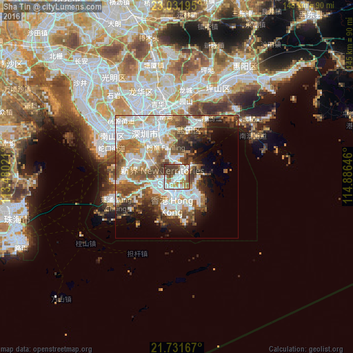
Analysis of Sha Tin night lights 2016
Square area 10x10 km:
 25.38%
90-99
20.08%80-89
0.38%70-79
13.07%60-69
8.71%50-59
9.09%40-49
13.83%30-39
9.47%20-29
0%10-19
0%0-9
0%Square area 50x50 km:
14.26%90-99
10.51%80-89
3.51%70-79
5.24%60-69
5.38%50-59
7.25%40-49
6.94%30-39
4.67%20-29
5.28%10-19
7.27%0-9
29.69%Clear (daylight) street map image can be seen on geolist.org.
Map coordinates:
23° 1' 55" North, 113° 28' 48.8" East
22° 22' 60" North, 114° 10' 60" East
21° 43' 54" North, 114° 53' 11.3" East
Some cities around Sha Tin sort by population:
• Kowloon
7.4 km =4.6 mi,  180°
180°
• Tsuen Wan
7.3 km =4.5 mi,  259°
259°
• Tai Po
7.6 km =4.7 mi,  348°
348°
• Sai Kung
8.6 km =5.3 mi,  90°
90°
• Central
11.4 km =7.1 mi,  192°
192°
• Wan Chai
11.4 km =7.1 mi, 185°
• Sham Shui Po
6.4 km =4 mi,  202°
202°
• Wong Tai Sin
3.7 km =2.3 mi, 180°
1818920 (p: 21,559)
Sources (retrieved 2019-11-25):
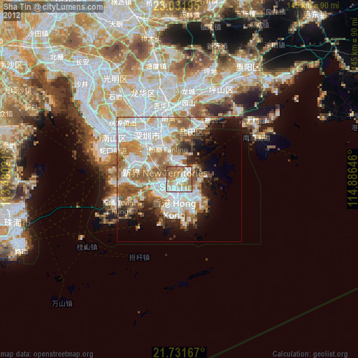
» Earth at Night: Flat Maps 2012, 2016