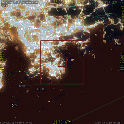
Sai Kung night lights from space
Night Light of Sai Kung from space (Hong Kong) Src. Average luminocity for 10x10km area is 48.2273% and for 50x50km: 37.6056%.
Analysis of Sai Kung night lights 2016
Square area 10x10 km:
 7.77%
7.77%90-99
6.63%80-89
3.98%70-79
6.44%60-69
7.77%50-59
10.61%40-49
13.64%30-39
8.9%20-29
12.31%10-19
17.61%0-9
4.36%Square area 50x50 km:
11.33%90-99
8.33%80-89
2.71%70-79
4.17%60-69
4.09%50-59
5.77%40-49
6.02%30-39
4.25%20-29
5.09%10-19
7.33%0-9
40.89%Clear (daylight) street map image can be seen on geolist.org.
Map coordinates:
23° 1' 55" North, 113° 33' 48.8" East
22° 22' 60" North, 114° 16' 0" East
21° 43' 54" North, 114° 58' 11.3" East
Some cities around Sai Kung sort by population:
• Hong Kong
15 km =9.3 mi,  219°
219°
• Kowloon
11.3 km =7 mi,  229°
229°
• Sha Tin
8.6 km =5.3 mi,  270°
270°
• Tai Po
12.5 km =7.8 mi,  306°
306°
• Central
15.8 km =9.8 mi, 224°
• Wan Chai
14.9 km =9.3 mi, 220°
• Sham Shui Po
12.5 km =7.8 mi,  241°
241°
• Wong Tai Sin
9.3 km =5.8 mi,  246°
246°
1819050 (p: 11,927)
Sources (retrieved 2019-11-25):
» Earth at Night: Flat Maps 2012, 2016