Tsuen Wan night lights from space
Night Light of Tsuen Wan from space (Hong Kong) Src. Average luminocity for 10x10km area is 75.5777% and for 50x50km: 51.4755%.
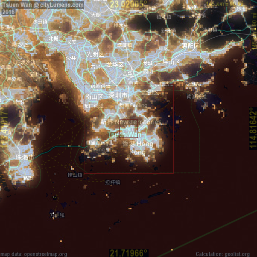
Analysis of Tsuen Wan night lights 2016
Square area 10x10 km:
 32.95%
90-99
17.42%80-89
1.14%70-79
4.92%60-69
5.87%50-59
12.5%40-49
16.1%30-39
9.09%20-29
0%10-19
0%0-9
0%Square area 50x50 km:
16.87%90-99
11.85%80-89
3.45%70-79
5.19%60-69
5.74%50-59
7.31%40-49
7.74%30-39
5.36%20-29
6.27%10-19
8.26%0-9
21.96%Clear (daylight) street map image can be seen on geolist.org.
Map coordinates:
23° 1' 12.2" North, 113° 24' 36.6" East
22° 22' 16.9" North, 114° 6' 47.8" East
21° 43' 10.8" North, 114° 48' 59.1" East
Some cities around Tsuen Wan sort by population:
• Kowloon
9.4 km =5.8 mi,  130°
130°
• Yuen Long Kau Hui
12 km =7.5 mi,  316°
316°
• Sha Tin
7.3 km =4.5 mi,  79°
79°
• Tai Po
10.4 km =6.5 mi,  33°
33°
• Wan Chai
11.7 km =7.3 mi,  148°
148°
• Central
10.9 km =6.8 mi, 154°
• Wong Tai Sin
7.6 km =4.7 mi,  108°
108°
• Sham Shui Po
6.6 km =4.1 mi, 133°
1818209 (p: 288,728)
Sources (retrieved 2019-11-25):
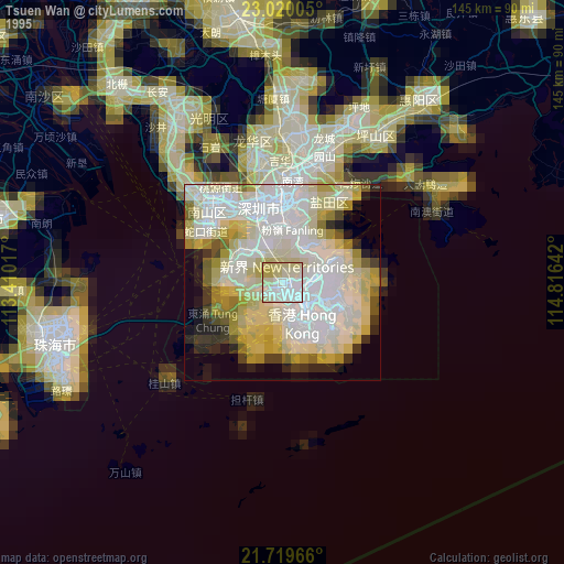
» NASA, Earths city lights 1995
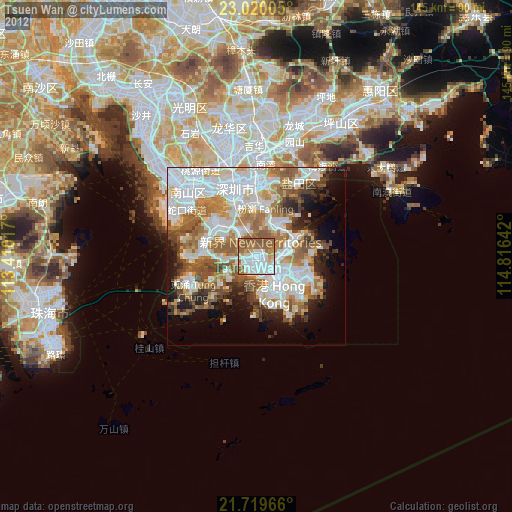
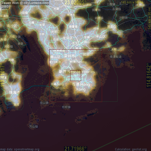
» NASA city lights 2003
» Earth at Night: Flat Maps 2012, 2016