Kowloon night lights from space
Night Light of Kowloon (Kowloon City) from space (Hong Kong) Src. Average luminocity for 10x10km area is 94.0114% and for 50x50km: 35.9451%.
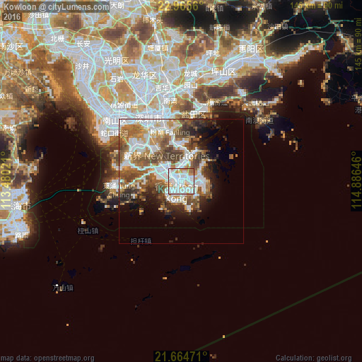
Analysis of Kowloon night lights 2016
Square area 10x10 km:
 45.45%
90-99
34.47%80-89
3.22%70-79
10.98%60-69
5.11%50-59
0.76%40-49
0%30-39
0%20-29
0%10-19
0%0-9
0%Square area 50x50 km:
10.21%90-99
7.96%80-89
2.19%70-79
4.19%60-69
4.55%50-59
6.32%40-49
5.91%30-39
4.09%20-29
4.69%10-19
6.11%0-9
43.78%Clear (daylight) street map image can be seen on geolist.org.
Map coordinates:
22° 57' 56.2" North, 113° 28' 48.8" East
22° 19' 0" North, 114° 10' 60" East
21° 39' 53" North, 114° 53' 11.3" East
Some cities around Kowloon sort by population:
• Hong Kong
4.4 km =2.7 mi,  191°
191°
• Tsuen Wan
9.4 km =5.8 mi,  310°
310°
• Sha Tin
7.4 km =4.6 mi,  0°
0°
• Sai Kung
11.3 km =7 mi,  49°
49°
• Central
4.5 km =2.8 mi,  214°
214°
• Wan Chai
4.1 km =2.5 mi,  195°
195°
• Wong Tai Sin
3.7 km =2.3 mi, 0°
• Sham Shui Po
2.9 km =1.8 mi,  301°
301°
1819609 (p: 2,019,533)
Sources (retrieved 2019-11-25):
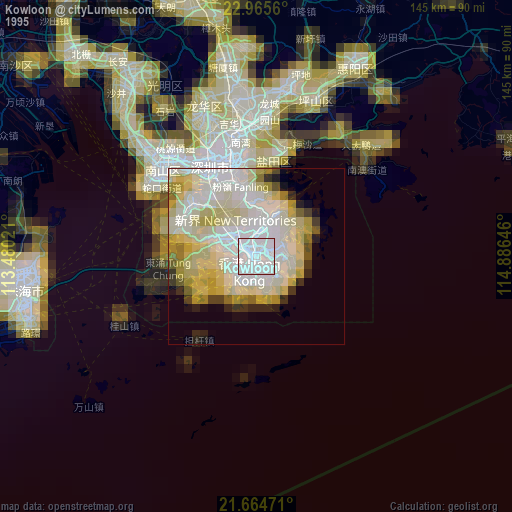
» NASA, Earths city lights 1995
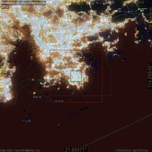
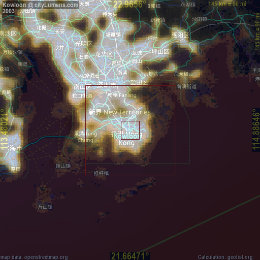
» NASA city lights 2003
» Earth at Night: Flat Maps 2012, 2016