Tecpán Guatemala night lights from space
Night Light of Tecpán Guatemala (Chimaltenango) from space (Guatemala) Src. Average luminocity for 10x10km area is 4.8202% and for 50x50km: 2.907%.
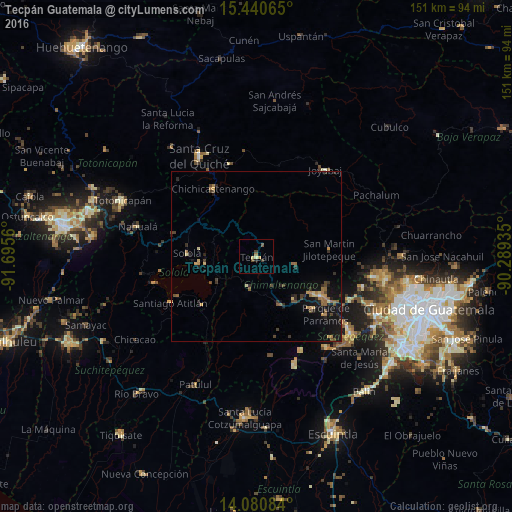
Analysis of Tecpán Guatemala night lights 2016
Square area 10x10 km:
 0%
0%90-99
0%80-89
1.45%70-79
1.03%60-69
0.83%50-59
0.83%40-49
1.03%30-39
1.45%20-29
0.41%10-19
0.41%0-9
92.56%Square area 50x50 km:
0.02%90-99
0.05%80-89
0.44%70-79
0.35%60-69
0.73%50-59
0.42%40-49
0.69%30-39
0.52%20-29
0.79%10-19
2.93%0-9
93.06%Clear (daylight) street map image can be seen on geolist.org.
Map coordinates:
15° 26' 26.3" North, 91° 41' 44.2" West
14° 45' 42.5" North, 90° 59' 32.9" West
14° 4' 51" North, 90° 17' 21.7" West
Some cities around Tecpán Guatemala sort by population:
• Sololá
20.6 km =12.8 mi,  273°
273°
• Comalapa
11.5 km =7.1 mi,  101°
101°
• Patzún
9.2 km =5.7 mi,  194°
194°
• Patzicía
16.1 km =10 mi,  153°
153°
• Panajachel
17.8 km =11.1 mi,  262°
262°
• Zaragoza
16.6 km =10.3 mi,  138°
138°
• Santa Cruz Balanyá
11.6 km =7.2 mi, 137°
• San José Poaquil
10.6 km =6.6 mi,  53°
53°
3588476 (p: 21,978)
Sources (retrieved 2019-11-25):
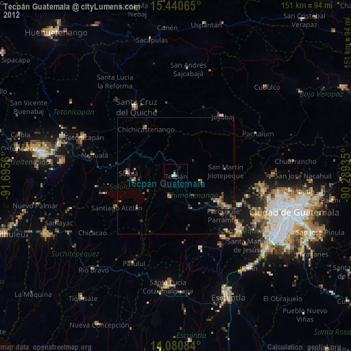
» Earth at Night: Flat Maps 2012, 2016