San Pedro Sacatepéquez night lights from space
Night Light of San Pedro Sacatepéquez (San Marcos) from space (Guatemala) Src. Average luminocity for 10x10km area is 26.0537% and for 50x50km: 5.0362%.
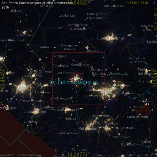
Analysis of San Pedro Sacatepéquez night lights 2016
Square area 10x10 km:
 2.69%
2.69%90-99
4.75%80-89
4.55%70-79
3.72%60-69
3.31%50-59
2.27%40-49
4.34%30-39
2.07%20-29
3.51%10-19
26.24%0-9
42.56%Square area 50x50 km:
0.24%90-99
0.69%80-89
0.62%70-79
0.54%60-69
0.78%50-59
0.52%40-49
0.99%30-39
1.3%20-29
1.47%10-19
4.15%0-9
88.71%Clear (daylight) street map image can be seen on geolist.org.
Map coordinates:
15° 38' 46.5" North, 92° 27' 53.5" West
14° 58' 5.1" North, 91° 45' 42.2" West
14° 17' 15.9" North, 91° 3' 31" West
Some cities around San Pedro Sacatepéquez sort by population:
• Ostuncalco
18.7 km =11.6 mi,  126°
126°
• San Marcos
3.5 km =2.2 mi,  262°
262°
• Comitancillo
13.5 km =8.4 mi,  5°
5°
• Cabricán
17 km =10.6 mi,  45°
45°
• Huitán
15.9 km =9.9 mi,  55°
55°
• San Cristóbal Cucho
7.3 km =4.5 mi,  196°
196°
• Concepción Chiquirichapa
19.4 km =12.1 mi, 130°
• San Miguel Sigüilá
17.8 km =11.1 mi,  117°
117°
3589626 (p: 40,021)
Sources (retrieved 2019-11-25):
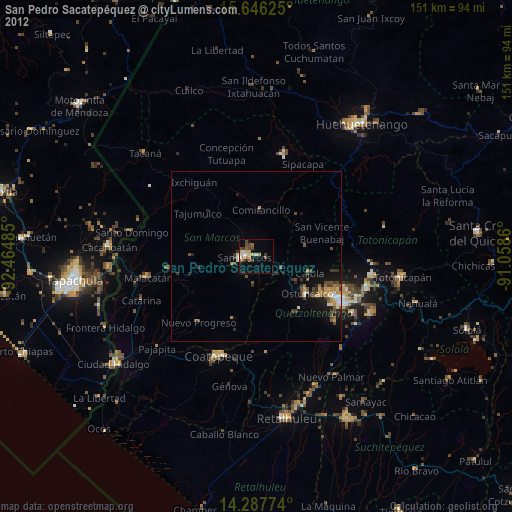
» Earth at Night: Flat Maps 2012, 2016