San Marcos night lights from space
Night Light of San Marcos from space (Guatemala) Src. Average luminocity for 10x10km area is 31.1198% and for 50x50km: 3.9658%.
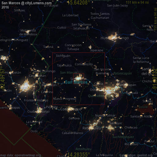
Analysis of San Marcos night lights 2016
Square area 10x10 km:
 2.69%
2.69%90-99
7.23%80-89
4.96%70-79
3.72%60-69
3.72%50-59
1.45%40-49
6.4%30-39
4.55%20-29
3.51%10-19
35.74%0-9
26.03%Square area 50x50 km:
0.15%90-99
0.41%80-89
0.45%70-79
0.38%60-69
0.5%50-59
0.45%40-49
0.79%30-39
1.17%20-29
1.28%10-19
3.79%0-9
90.63%Clear (daylight) street map image can be seen on geolist.org.
Map coordinates:
15° 38' 31.5" North, 92° 29' 51.3" West
14° 57' 50" North, 91° 47' 40" West
14° 17' 0.8" North, 91° 5' 28.8" West
Some cities around San Marcos sort by population:
• San Pedro Sacatepéquez
3.5 km =2.2 mi,  82°
82°
• Ostuncalco
21.4 km =13.3 mi,  119°
119°
• Comitancillo
14.8 km =9.2 mi,  18°
18°
• El Quetzal
21.9 km =13.6 mi,  186°
186°
• Cabricán
20 km =12.4 mi,  51°
51°
• Huitán
19.2 km =11.9 mi,  60°
60°
• San Cristóbal Cucho
6.7 km =4.2 mi,  167°
167°
• El Tumbador
18.7 km =11.6 mi,  233°
233°
3589805 (p: 25,088)
Sources (retrieved 2019-11-25):
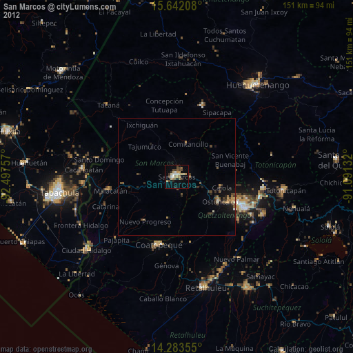
» Earth at Night: Flat Maps 2012, 2016