Poptún night lights from space
Night Light of Poptún (Petén) from space (Guatemala) Src. Average luminocity for 10x10km area is 7.2748% and for 50x50km: 0.3532%.
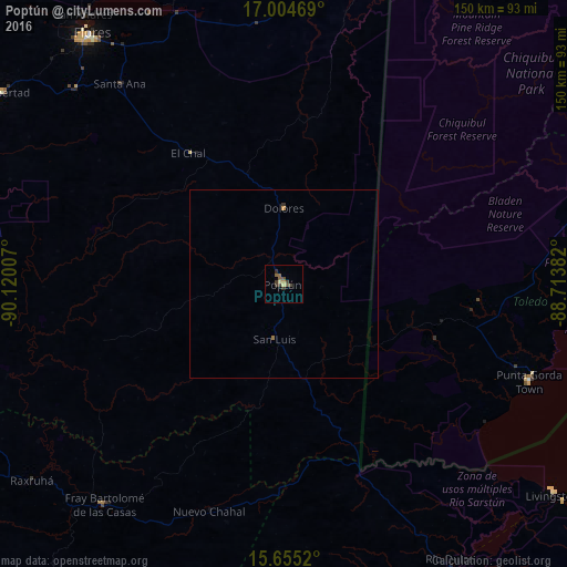
Analysis of Poptún night lights 2016
Square area 10x10 km:
 0%
0%90-99
0.21%80-89
1.45%70-79
0.83%60-69
0%50-59
3.31%40-49
2.27%30-39
3.1%20-29
1.24%10-19
0%0-9
87.6%Square area 50x50 km:
0%90-99
0.01%80-89
0.06%70-79
0.07%60-69
0.03%50-59
0.13%40-49
0.09%30-39
0.14%20-29
0.07%10-19
0%0-9
99.4%Clear (daylight) street map image can be seen on geolist.org.
Map coordinates:
17° 0' 16.9" North, 90° 7' 12.3" West
16° 19' 52" North, 89° 25' 1" West
15° 39' 18.7" North, 88° 42' 49.8" West
Some cities around Poptún sort by population:
• San Benito
84.3 km =52.4 mi,  320°
320°
• Flores
83.5 km =51.9 mi, 321°
• Dolores
20.1 km =12.5 mi,  359°
359°
• Santa Ana
68.5 km =42.6 mi, 319°
• Sayaxché
85 km =52.8 mi,  284°
284°
• Chahal Guatemala
63.3 km =39.3 mi,  198°
198°
• San Luis
14.9 km =9.3 mi,  189°
189°
• Punta Gorda, BZ
69.8 km =43.4 mi,  111°
111°
3591181 (p: 17,320)
Sources (retrieved 2019-11-25):
» Earth at Night: Flat Maps 2012, 2016