San Benito night lights from space
Night Light of San Benito (Petén) from space (Guatemala) Src. Average luminocity for 10x10km area is 22.1688% and for 50x50km: 1.4814%.
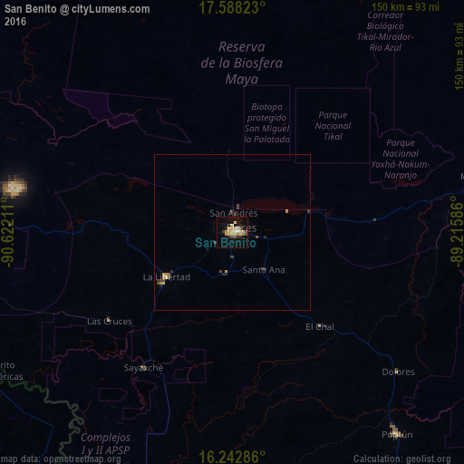
Analysis of San Benito night lights 2016
Square area 10x10 km:
 0.87%
0.87%90-99
4.11%80-89
2.38%70-79
9.96%60-69
0%50-59
0.65%40-49
3.68%30-39
1.73%20-29
3.03%10-19
11.9%0-9
61.69%Square area 50x50 km:
0.03%90-99
0.18%80-89
0.13%70-79
0.52%60-69
0.08%50-59
0.08%40-49
0.35%30-39
0.31%20-29
0.3%10-19
0.52%0-9
97.5%Clear (daylight) street map image can be seen on geolist.org.
Map coordinates:
17° 35' 17.6" North, 90° 37' 19.6" West
16° 55' 0.3" North, 89° 55' 8.3" West
16° 14' 34.3" North, 89° 12' 57.1" West
Some cities around San Benito sort by population:
• Flores
2.2 km =1.4 mi,  72°
72°
• Poptún
84.3 km =52.4 mi,  140°
140°
• Melchor de Mencos
83.2 km =51.7 mi,  78°
78°
• Dolores
69.9 km =43.4 mi,  130°
130°
• Santa Ana
15.9 km =9.9 mi, 144°
• Sayaxché
52.2 km =32.4 mi,  213°
213°
• La Libertad
25.4 km =15.8 mi,  235°
235°
• San Andrés
5.6 km =3.5 mi,  2°
2°
3590389 (p: 30,764)
Sources (retrieved 2019-11-25):
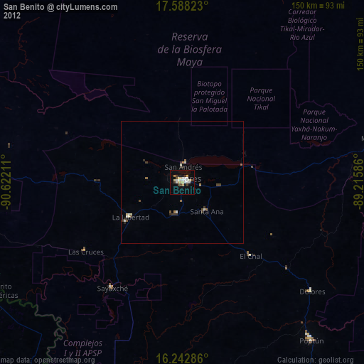
» Earth at Night: Flat Maps 2012, 2016